



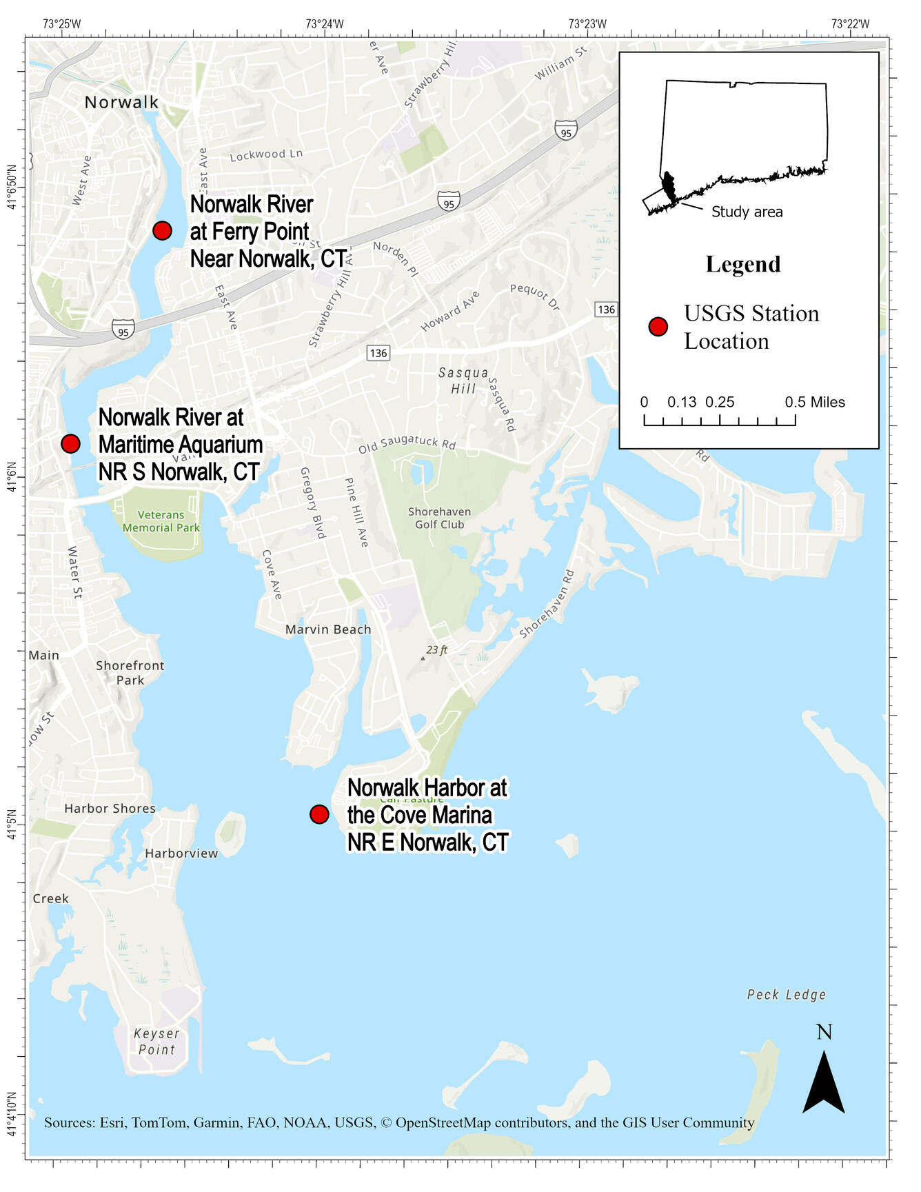
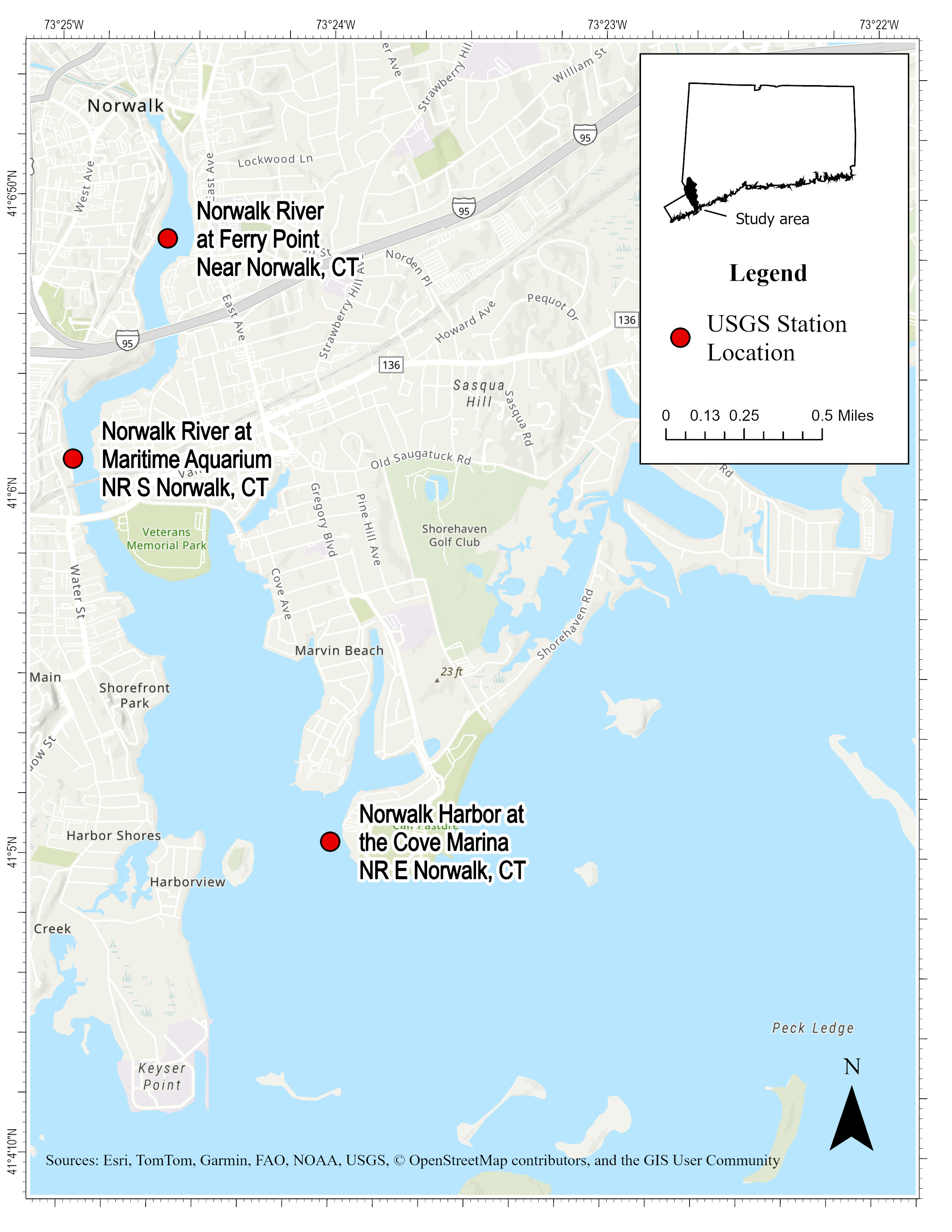
Map of Phytoplankton Sampling Sites in Lower Norwalk River


Detailed Description
This map shows the study area within the Norwalk River tidal embayment of phytoplankton sampling sites. This monitoring effort is looking at algal composition across salinity gradients and how they change with the seasons and tides.
Sources/Usage
Public Domain.
Related
Algal Community Composition within the Lower Norwalk River
Harmful algal blooms (HABs), fish kills, and shellfish contamination are increasingly affecting coastal estuaries like the Norwalk River. Understanding the microscopic algae responsible for these events is essential for protecting public health, local economies, and marine ecosystems. As the environmental conditions of estuaries continue to change from nutrient enrichment, warming temperatures...
Related
Algal Community Composition within the Lower Norwalk River
Harmful algal blooms (HABs), fish kills, and shellfish contamination are increasingly affecting coastal estuaries like the Norwalk River. Understanding the microscopic algae responsible for these events is essential for protecting public health, local economies, and marine ecosystems. As the environmental conditions of estuaries continue to change from nutrient enrichment, warming temperatures...