
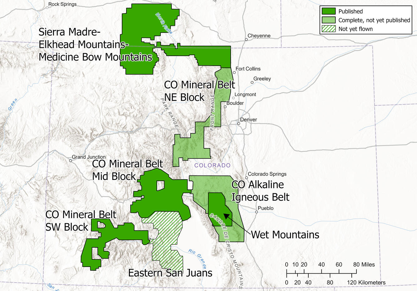
Map of Planned and Completed Earth MRI Magnetic/Radiometric in Colorado
By Geology, Geophysics, and Geochemistry Science Center
March 2026 (approx.)
Detailed Description
Map of Colorado showing topography, major roads, and major cities. The outlines of Earth MRI surveys are shown in black, with dark green solid fill indicating a published survey, light green transparent fill indicating a completed but not yet published survey (as of March 2026), and hatched green fill indicating a planned future survey.
Sources/Usage
Public Domain.