
Mapping App: A Summary of Mine Lands Across the US
Detailed Description
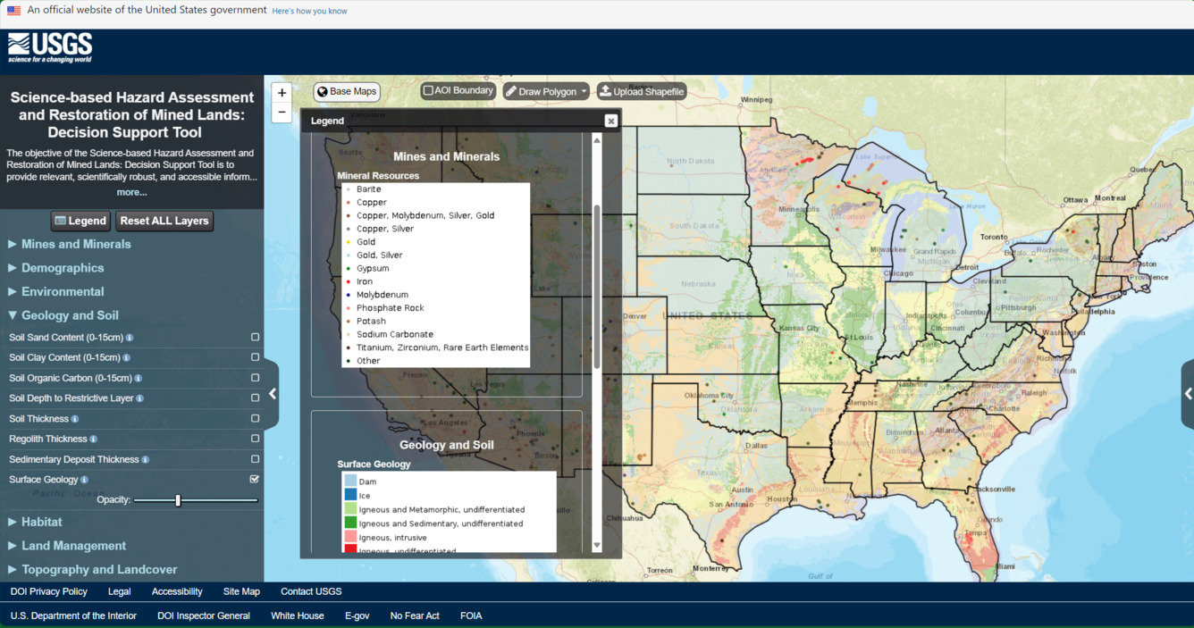
This interactive, customizable web map allows users to visualize geospatial data to support the assessment and management of mine lands. In its initial version, the application gives users a quick summary of summary of mine features. Additional data and capabilities will be added to the tool in future releases.
Sources/Usage
Public Domain.