



Mapping the hydrometric network in Lesotho with tools developed through AWEP


Detailed Description
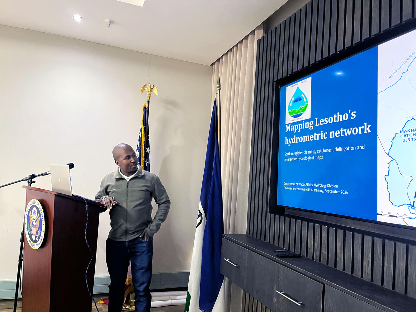
Staff from the Department of Water Affairs Hydrology Division presents on tools for mapping the hydrometric network in Lesotho. Tools were developed as part of the 2026 Ambassadors Water Expert Program on integrating hydrologic remote sensing, geographic information systems, and hydrologic forecasting with artificial intelligence.
Sources/Usage
Public Domain.