
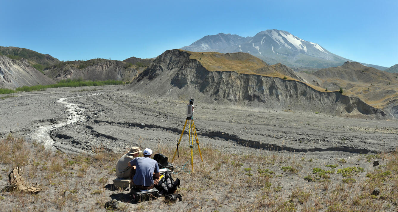
Mapping the North Fork Toutle River using a terrestrial laser scann...
Detailed Description
The USGS, in collaboration with UNAVCO and the University of Colorado, uses these data to measure channel erosion and deposition in the reach.
Sources/Usage
Public Domain.