



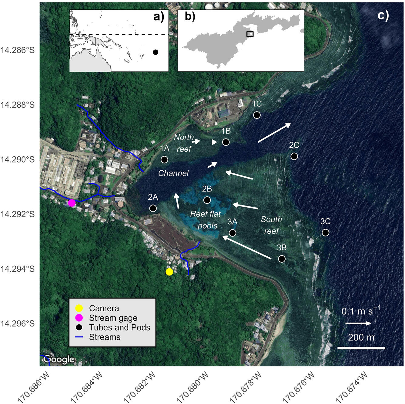
Maps of the study area and instrumentation in Faga'alu Bay


Detailed Description
Maps of the study area and instrumentation in Faga'alu Bay. a) Location of American Samoa in the South Pacific region. b) Location of Faga'alu Bay on Tutuila Island, American Samoa. c) Faga'alu Bay, including locations of sediment pods and traps deployed at 9 locations. A time-lapse camera was installed at “Camera”. White arrows indicate flow velocities and directions under large wave conditions. From the study Waves, watersheds, and sediment in a coral reef embayment: Towards parsimonious models of accumulation and composition.
Sources/Usage
Public Domain.