
Modeling Grand Bay Marsh Productivity with Sea-Level Rise
By St. Petersburg Coastal and Marine Science Center
2018 (approx.)
Detailed Description
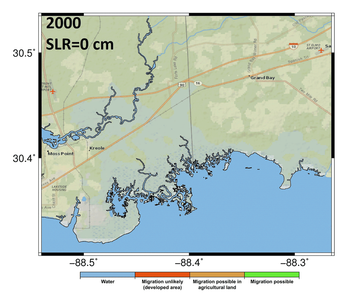
Scientists at the USGS St. Petersburg Coastal and Marine Science Center use Hydro-MEM, a two-dimensional coastal wetland model that integrates an Advanced Circulation hydrodynamic model with a Marsh Equilibrium Model to project marsh response to sea-level rise. In Grand Bay, the model predicts that marshes will lose productivity under a high sea-level rise scenario, and attempt to migrate upland or convert to open water.
The graphic (Alizad and others, 2018) shows predicted model output of marsh productivity in Grand Bay under a high sea-level rise scenario between the year 2000 and 2100.
Explore modeling efforts for Grand Bay in this geonarrative.
Sources/Usage
Public Domain.