
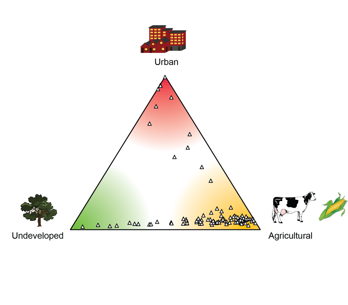
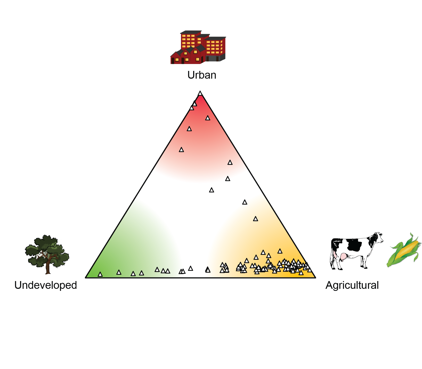
MSQA landuse ternary diagram
Detailed Description
MSQA landuse ternary diagram indicating the landuse distribution for sites sampled for the Midwest Stream Quality Assessment. Most of the sites are mostly agricultural trending to undeveloped, with about a dozen with a mix of agricultural and urban land uses.
Sources/Usage
Public Domain.