
Multiple gears used to collect data on the Seven Mile Island shoreface
Detailed Description
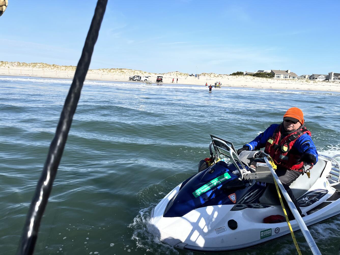
BJ Reynolds of the St. Petersburg Coastal and Marine Science Center operates a personal watercraft near the shoreline of Seven Mile Island, New Jersey. This vessel is used to collect single beam bathymetry (depth and seafloor shape) in the nearshore, and the equipment on the shoreline is used to collect chirp seismic reflection on the shoreface and inner shelf. Chirp data allow them to see the sediment layers below the seafloor and understand more about the geologic history of the island. Furthermore, it allows them to understand how much mobile sediment there is offshore of the island, and how the sediment volumes vary alongshore. This information is used to evaluate how the coast has changed through time, and can be used to develop coastal planning and resilience strategies which are critical for heavily populated New Jersey coasts.
Learn more about the Coastal Sediment Availability and Flux project.
Sources/Usage
Public Domain.