
Oblique aerial-photo time series of the Chandeleur Islands

Detailed Description
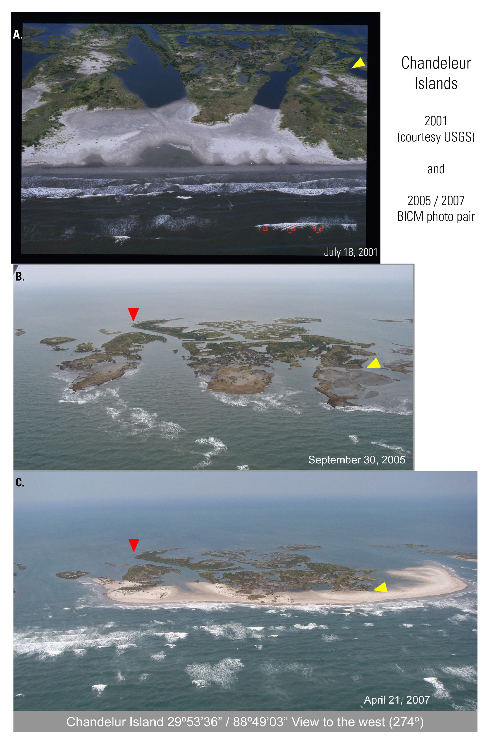
Oblique aerial-photo time series of a portion of the Chandeleur Islands: top photo is from July 18, 2001 (courtesy, USGS), middle photo is one day after Hurricane Katrina, and bottom photo is 22 months after Hurricane Katrina. Arrows denote same geographical location (BICM Volume 1).
Sources/Usage
Public Domain.