
Pathogens in Soils Geographic Information Systems Project
Detailed Description
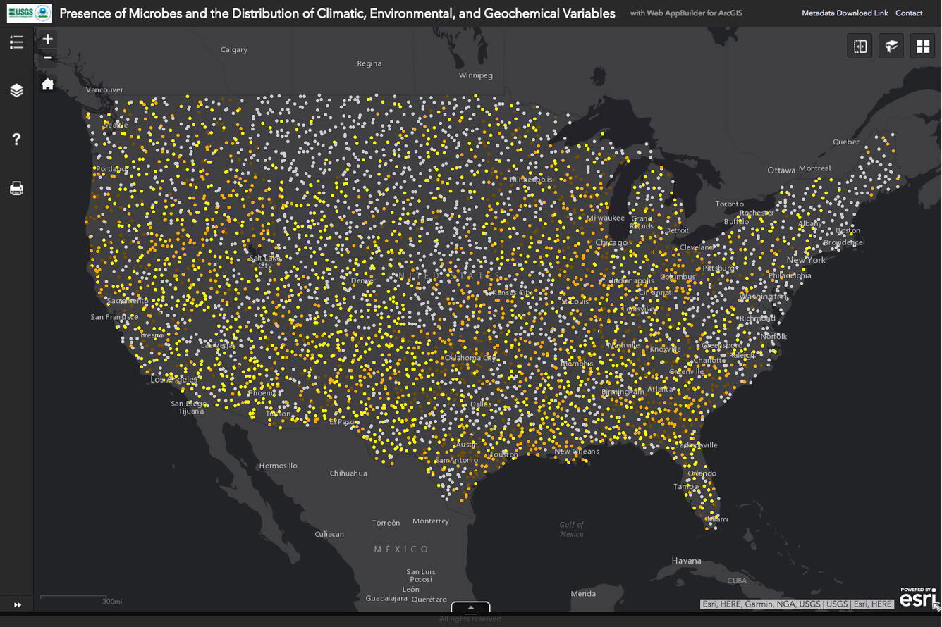
Along with microbial presence/absence data for the soil samples collected during this study, several variables related to microbial survival will be mapped using GIS and include: geochemical make-up of the soil, percent slope, area drainage class, ambient meteorological conditions, soil moisture content, land use, and land cover. In addition, variables related to potential natural outbreaks will be included such as available inventory of livestock and past animal outbreaks by county. Logistical regression in GIS might also be used to try to determine areas that might be more prone to outbreaks or to support pathogen survival. The model will be developed to allow county selection across the contiguous United States as on overlay to enable investigations of any pathogen type.
Sources/Usage
Public Domain.
Related

Joint USGS/USEPA Pathogens in Soils Geographic Information Systems Project
Related