
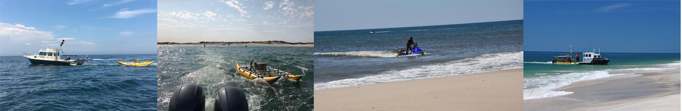
Photo collage of the nearshore area of Fire Island showing researchers
By St. Petersburg Coastal and Marine Science Center
2017 (approx.)
Detailed Description
Photo collage of marine vessels collecting geophysical data including bathymetry and seismic data in the nearshore at Fire Island, NY.
1) Photo of geophysical seismic equipment towed behind the R/V Sallenger in the nearshore of Fire Island, NY.
2) Closeup photo of geophysical seismic equipment towed behind the RV Sallenger in the nearshore of Fire Island, NY.
3) Photo of USGS personnel on personal watercraft collecting single-beam bathymetry in the nearshore of Fire Island, NY.
4) Photo of LARC collecting including bathymetry and seismic data at Fire Island, NY.
Sources/Usage
Public Domain.