
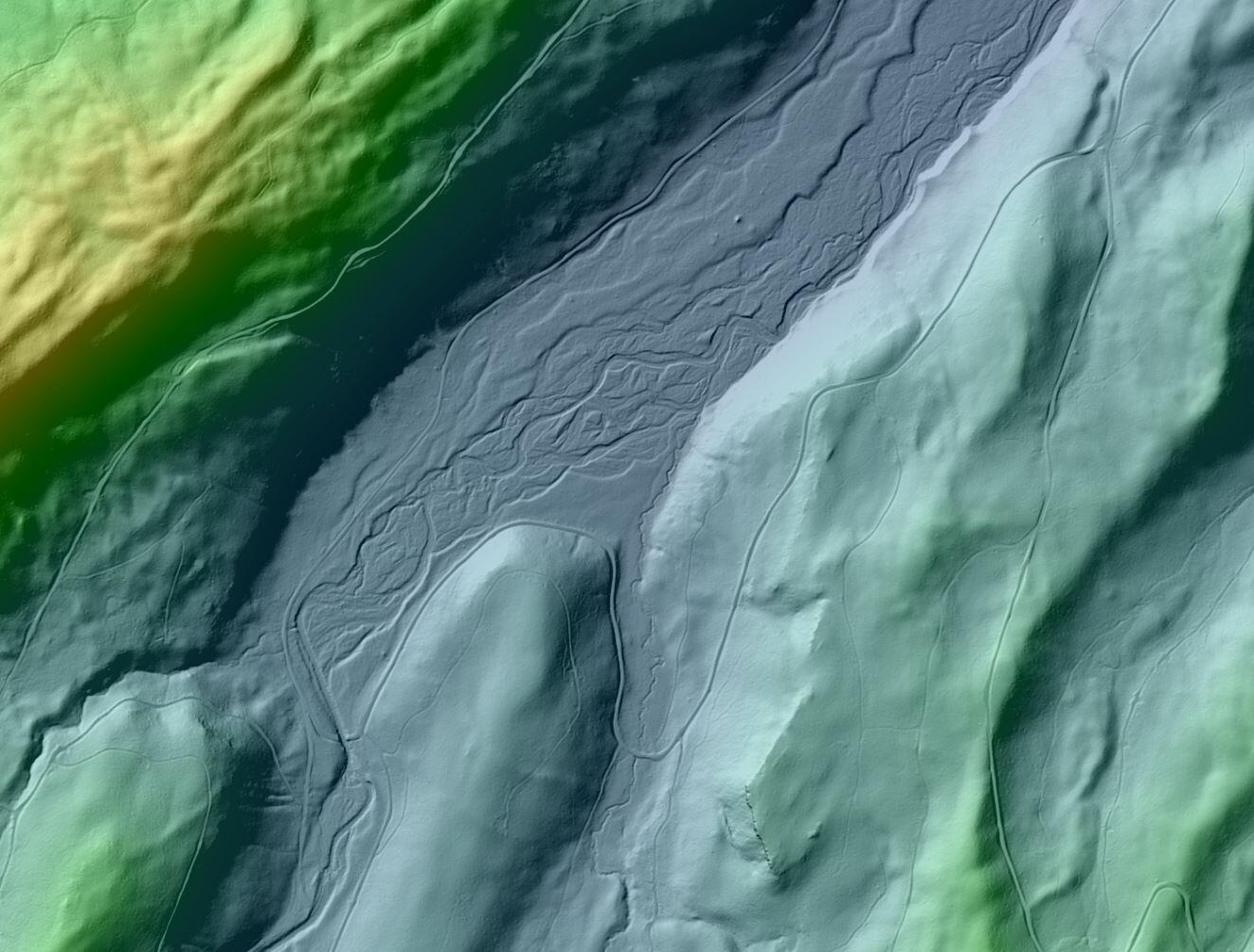
Pole Creek Hillshade
By National Geospatial Program
2012 (approx.)
Detailed Description
This example is from data collected around the 2012 Pole Creek fire in Oregon. One of the things that makes lidar exciting is the ability to see features on the ground underneath all the vegetation.
Sources/Usage
Public Domain.