
Rio Nigua at Turnpike
Detailed Description
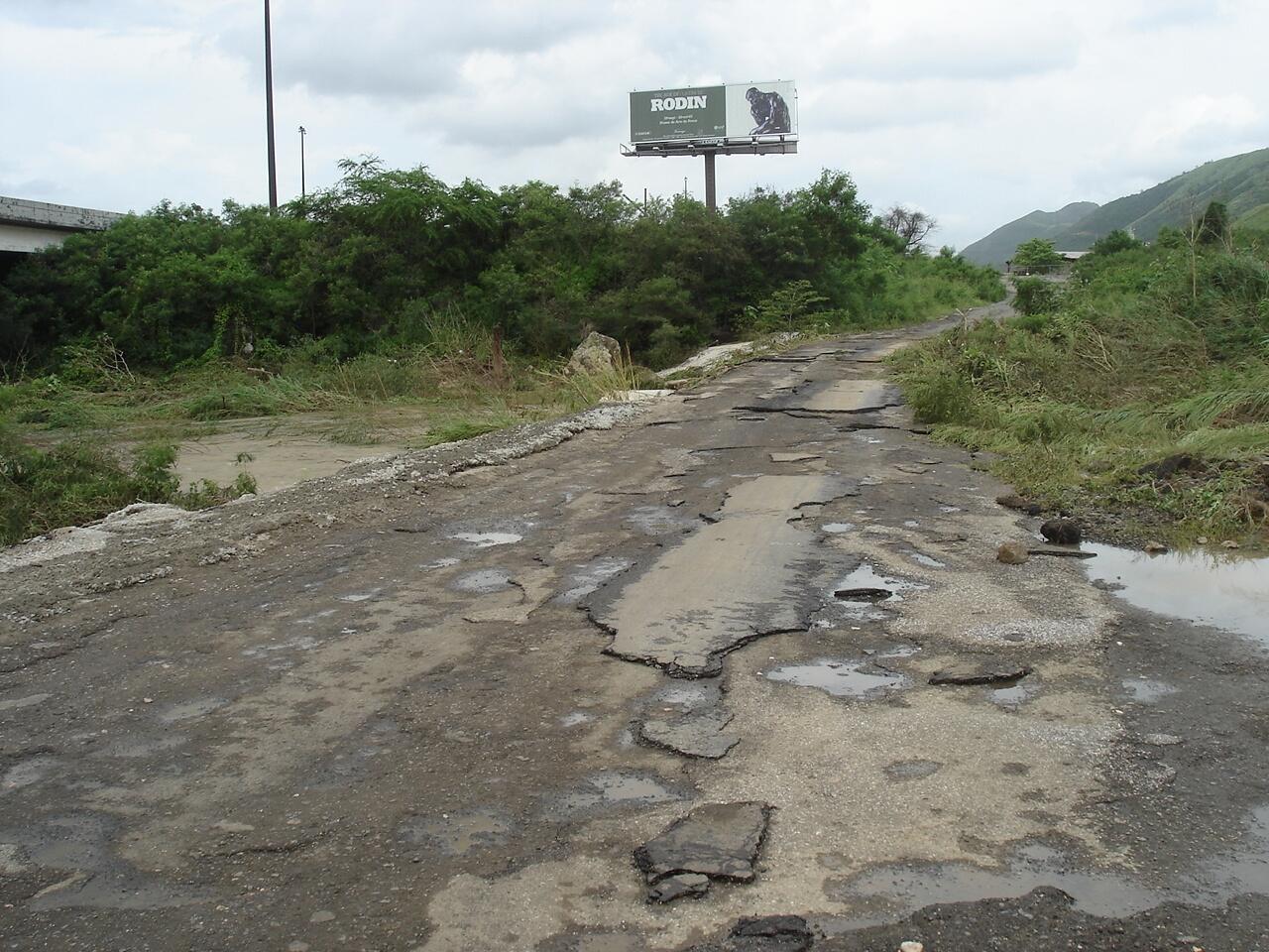
After heavy rains the river floods over the bridge and then for several months it will flow through the conduits under the roadway before it dries up again. The location is at 17º59"15"N, 66º17"40" and the elevation is 10 m.
Sources/Usage
Public Domain.