
San Antonio Creek Valley Hydrologic Monitoring
Detailed Description
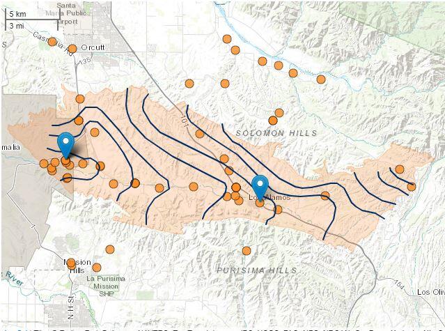
In order to understand the integrated hydrologic systems in the San Antonio Creek Valley, many different types of data are being gathered from both the surface water and groundwater system. Learn about these data types and explore them with the interactive map.
Sources/Usage
Public Domain.