
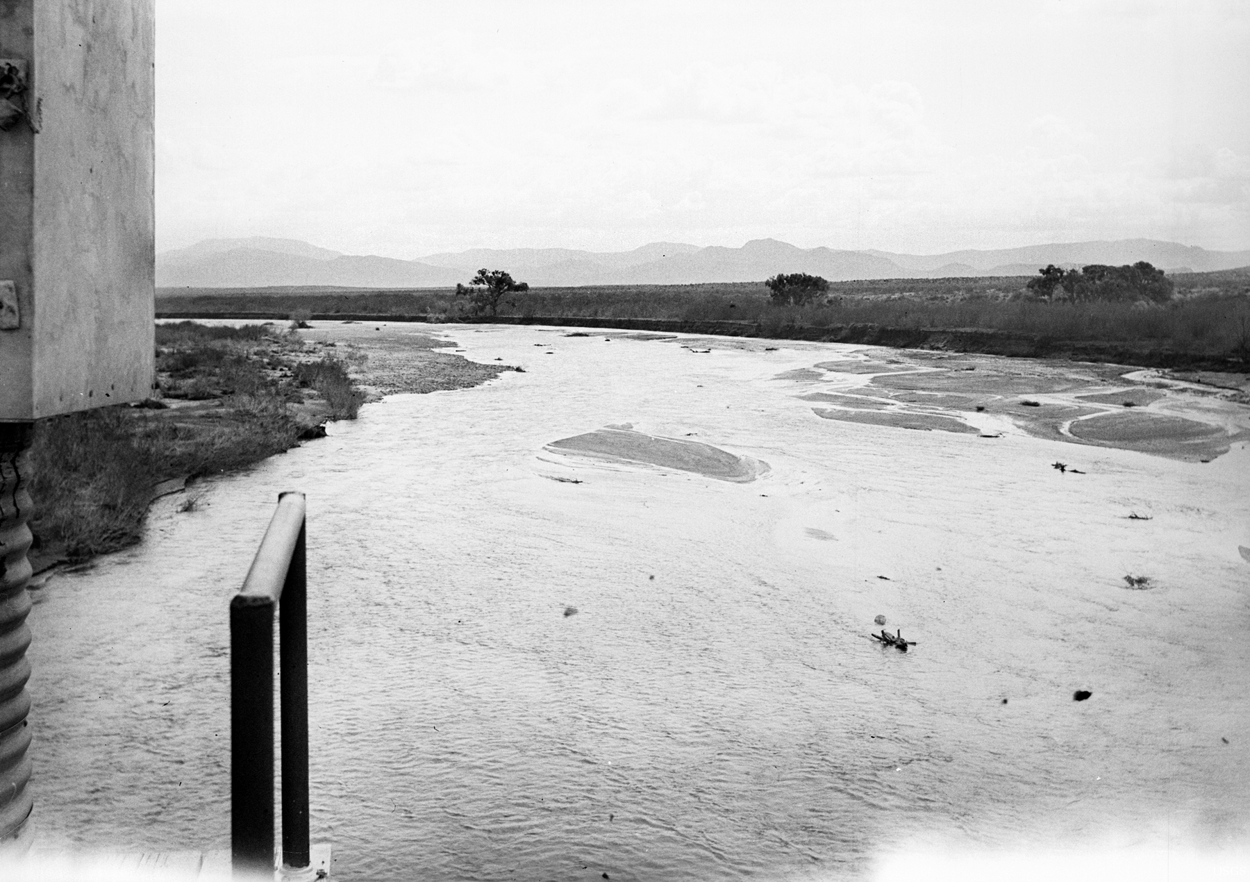
San Carlos River near Peridot, Southern Arizona - 1940

Detailed Description
In 1940, the gaging station for the San Carlos River was on a railroad bridge south of the little town of Peridot. This downstream view from that bridge shows the gage house on the extreme left and a safety railing next to it. The channel is wide following a flood, and scattered Frémont cottonwood trees are along channel right. The dense shrubs on the low terrace on the right bank are unidentified but might be coyote willow. (Roy H. Monroe).
Sources/Usage
Public Domain.