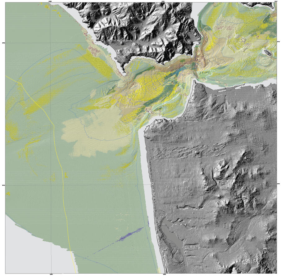
Seafloor character map of the San Francisco Region

Detailed Description
“Seafloor character” map of the San Francisco Region. This is a type of habitat map that classifies the seafloor based on surface hardness and roughness. Such maps are used in various types of ecosystem assessments and seafloor zoning, such as delineation or monitoring of marine protected areas.

