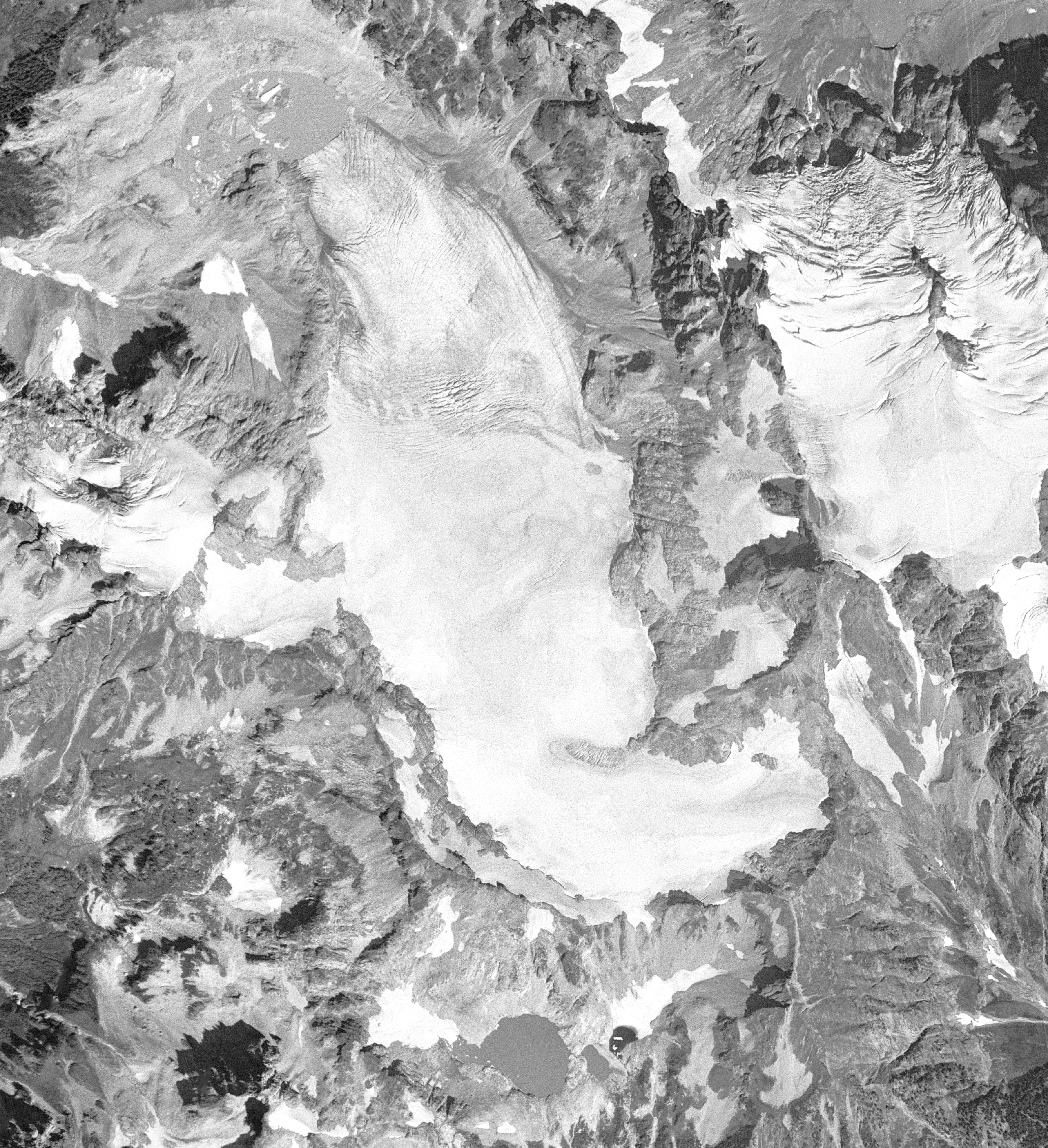
South Cascade Glacier August 13th, 1958
Detailed Description
Aerial photograph of South Cascade Glacier, WA taken August 13th, 1958.
Sources/Usage
Public Domain.
Related
Glaciers and Landscape Change
Mountain glaciers are dynamic reservoirs of frozen water, deeply interconnected with their surrounding ecosystems. Glacier change in North America has major societal impacts, including to water resources, natural hazard risk, tourism disruption, fisheries, and global sea level change. Understanding and quantifying precise connections between changing glaciers, the surrounding landscape and climate...
Geodetic Data for USGS Glaciers: Orthophotos, Digital Elevation Models, Glacier Boundaries and Surveyed Positions Geodetic Data for USGS Glaciers: Orthophotos, Digital Elevation Models, Glacier Boundaries and Surveyed Positions
This data release provides geodetic measurements collected since the mid-1940s to characterize the surface elevation, area, and motion of glaciers studied by the U.S, Geological Survey. The primary glaciers of focus are the Benchmark Glaciers of North America which include Gulkana, Wolverine, and Lemon Creek Glaciers in Alaska, Sperry Glacier in Montana, and South Cascade Glacier in...
Compiled Input Data and Glacier-Wide Mass Balances Compiled Input Data and Glacier-Wide Mass Balances
This data release includes compiled input data and glacier-wide mass balance data collected on various North American glaciers under various projects and funding sources. Vocabulary used is defined herein and follows Cogley and others (2011) Glossary of Glacier Mass Balance. Input data are of three types: 1) time-variable area altitude distribution (AAD); 2) time series of point mass...