
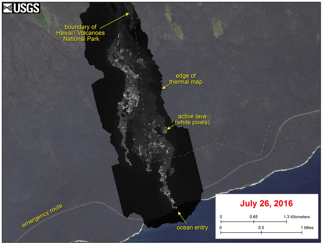
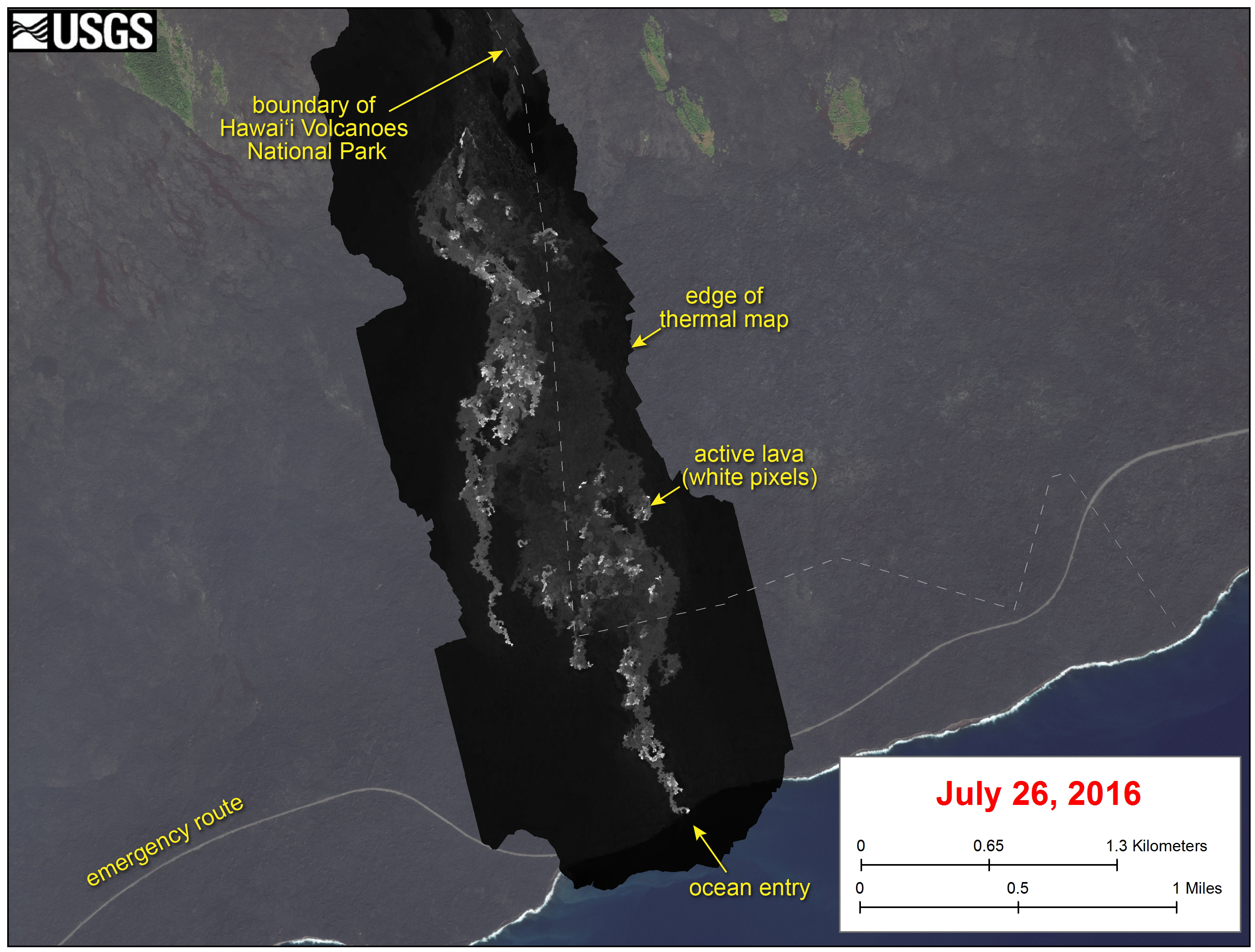
Thermal map of lava flow
Detailed Description
This image shows a thermal map of the flow on the pali and coastal plain, created from airborne thermal images. White pixels are hot, and show areas of active surface breakouts. The background image is a satellite image collected before the current lava flow was active.
The thermal map shows scattered pāhoehoe breakouts on the coastal plain, with a narrow lobe of lava crossing the gravel road and extending to the ocean. In addition, a narrow lobe was advancing along the western margin of the flow on the coastal plain.