



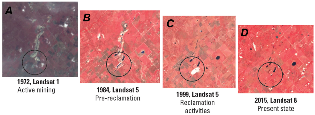
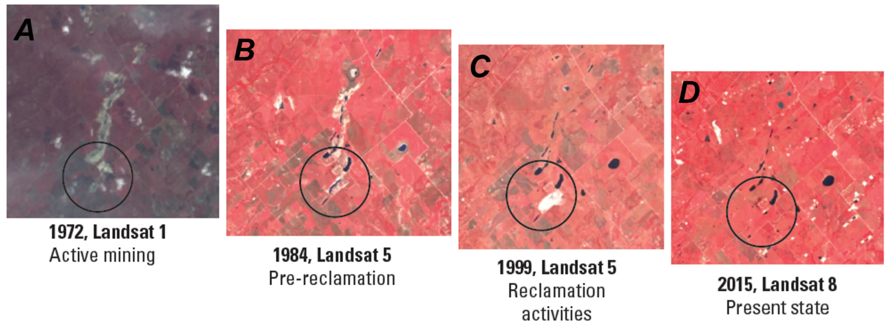
Time lapse images showing land change in a Texas mining area


Detailed Description
Time lapse of Landsat images showing land change in a Texas mining area from 1972 to 2015.
A: active mining; B: pre-reclamation; C: reclamation activities; D: post reclamation
More details about this image can be found in the Identifying and Characterizing Mine Features in Texas article that is featured in the 2025 Department of Interior Remote Sensing Activities report.
Sources/Usage
Public Domain.