
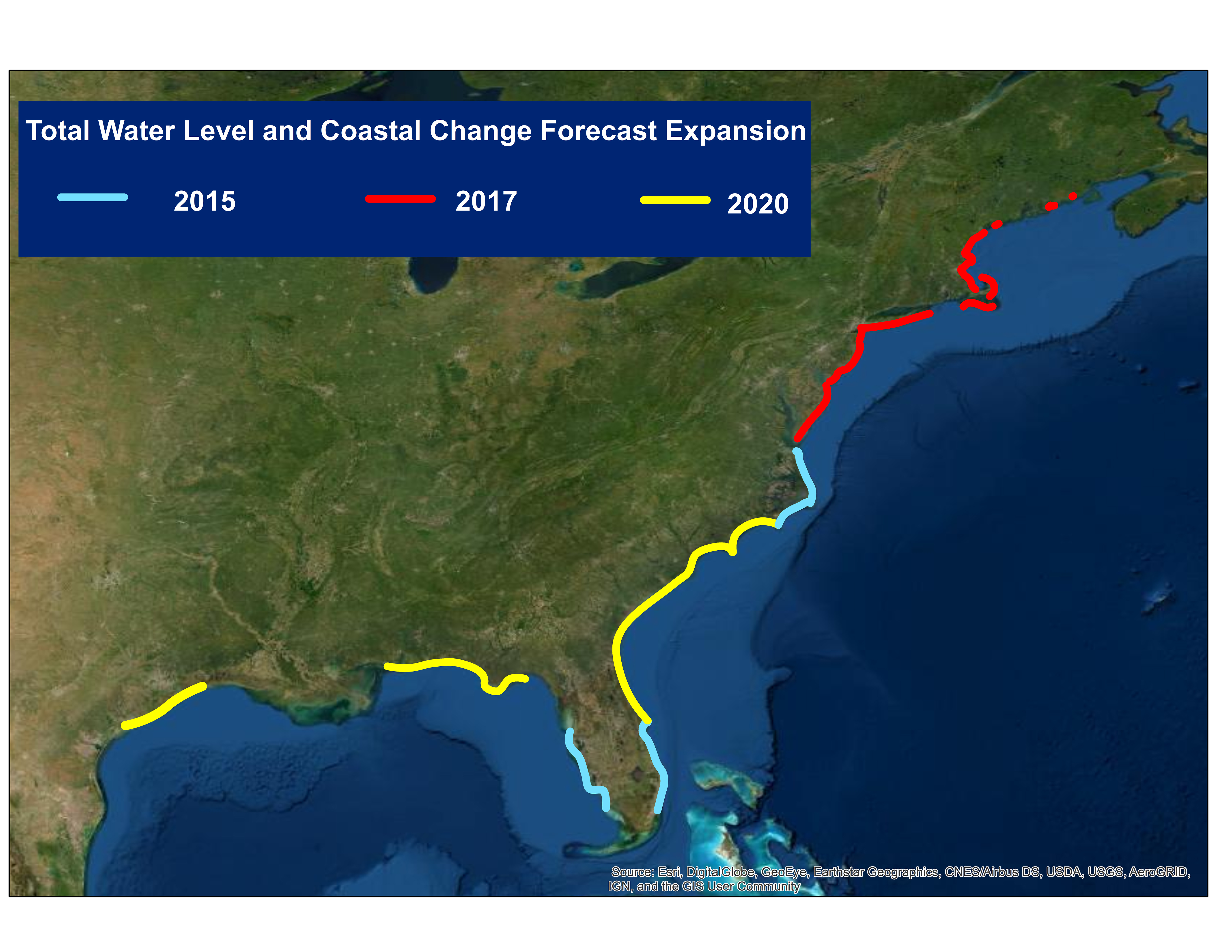
Total Water Level and Coastal Change Forecast Expansion, 2020

Detailed Description
The Total Water Level and Coastal Change Forecast has continually expanded since real-time forecasts began in 2015. In 2020, new regions of the Gulf and South Atlantic coasts were added to the forecast and officially approved for use in National Weather Service Forecasts. The Total Water Levels and Coastal Change (TWL-CC) Forecast Viewer is a web-based tool that visualizes forecasts of extreme water levels and coastal change along sandy shorelines based on local tides, storm surge, waves, and beach characteristics. This information is critical for protecting lives and property along our nation’s coasts, and for conducting for post-storm recovery.
Sources/Usage
Public Domain.