
UAS Aerial Imagery Testing Day
Detailed Description
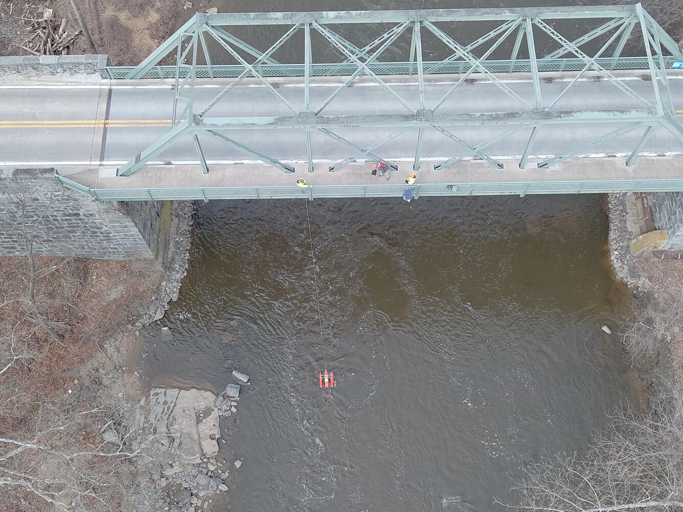
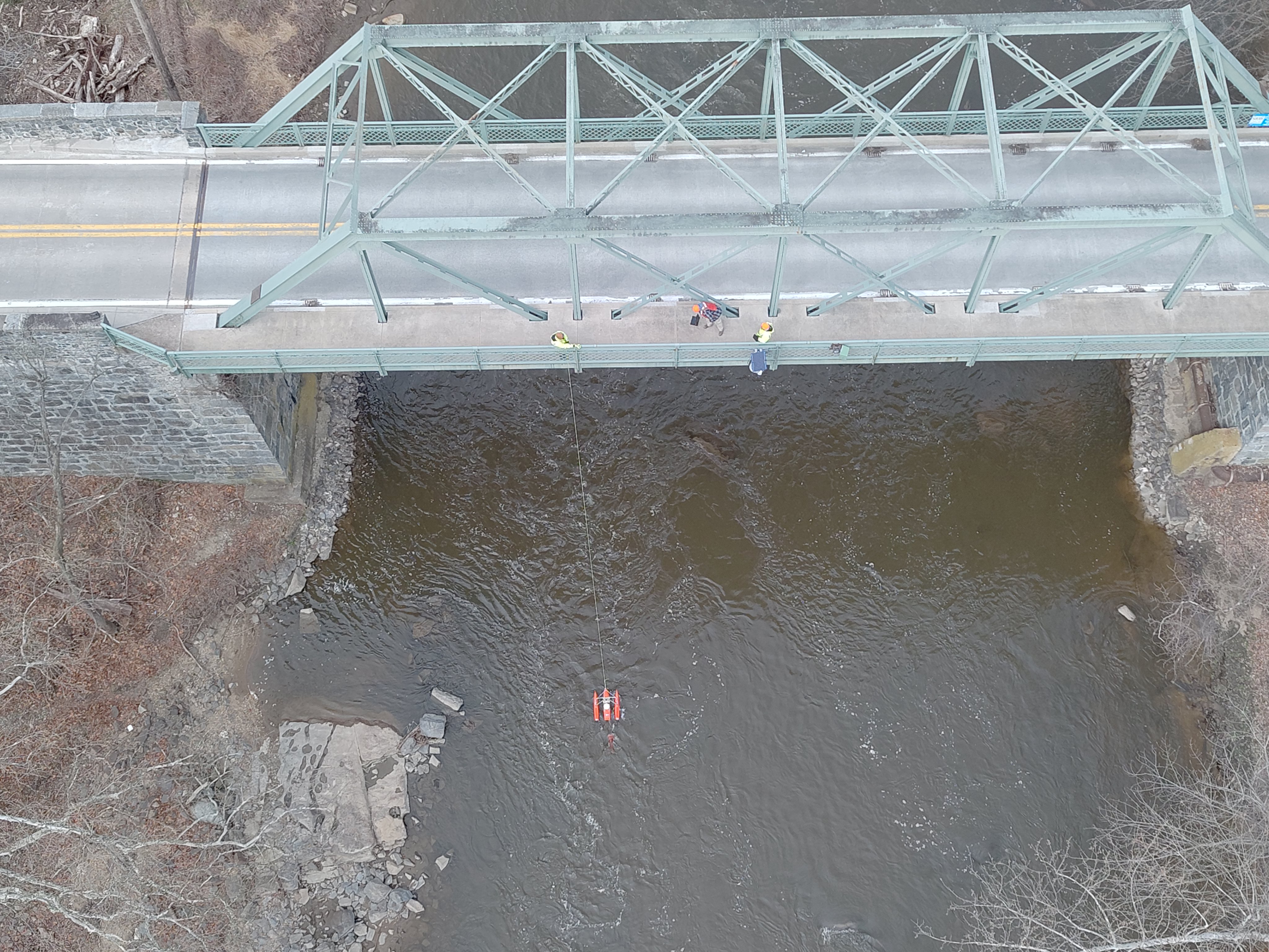
An aerial view of hydrologic technicians on a truss bridge above Brandywine Creek measuring streamflow with an ADCP.
We continue to test our aerial drones as a means of measuring stream velocity. Along this scenic stretch of the Brandywine Creek in Delaware, we tested our aerial stream velocity measurements against the reliable measurements from our in-stream measurements.
Along this scenic stretch of the Brandywine Creek in Delaware, the USGS tested our aerial stream velocity measurements against the reliable measurements from our in-stream measurements.
The idea for this project is to measure stream velocity using a high-resolution camera mounted to the drone flying above the river, allowing us to measure during floods from a safe distance.
Our ability to measure streamflow with this method is still in its early stages, and this project is part of the Next Generation Water Observing System (NGWOS), a program which develops innovative ways to improve water science and keep communities informed during extreme events.
Photo credit Nick Giro and Chris Lewis, USGS.
Sources/Usage
Public Domain.