
Uncrewed aircraft systems (UAS) instrument validation and calibration
Detailed Description
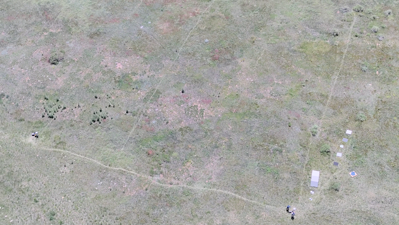
Drone-captured photo of a vegetated field in Golden, Colorado. Faint paths visible across the grass formed from the consistent, repeated pattern walked by a spectrometer operator multiple times per day for multiple days in a row. Reference materials for radiometric calibration and validation of remote sensing imagery were placed along the edge of the field, seen on the right side of the image.
Sources/Usage
Public Domain.
Related

NUSO Research Missions
Research missions, often performed in cooperation with other DOI bureaus as well as non-DOI collaborators, serve as vital tools in the ongoing evaluation and integration activities that support the strategic implementation of UAS into the USGS and the DOI.

National Uncrewed Systems Office
The U.S. Geological Survey (USGS) National Uncrewed Systems Office (NUSO) leads the research activities needed to make Uncrewed Aircraft Systems (UAS) data collection an efficient, safe, and cost-effective remote sensing tool for Department of the Interior (DOI) and USGS scientists.
Related
NUSO Research Missions
Research missions, often performed in cooperation with other DOI bureaus as well as non-DOI collaborators, serve as vital tools in the ongoing evaluation and integration activities that support the strategic implementation of UAS into the USGS and the DOI.
National Uncrewed Systems Office
The U.S. Geological Survey (USGS) National Uncrewed Systems Office (NUSO) leads the research activities needed to make Uncrewed Aircraft Systems (UAS) data collection an efficient, safe, and cost-effective remote sensing tool for Department of the Interior (DOI) and USGS scientists.