
U.S. Geothermal Systems Map

Detailed Description
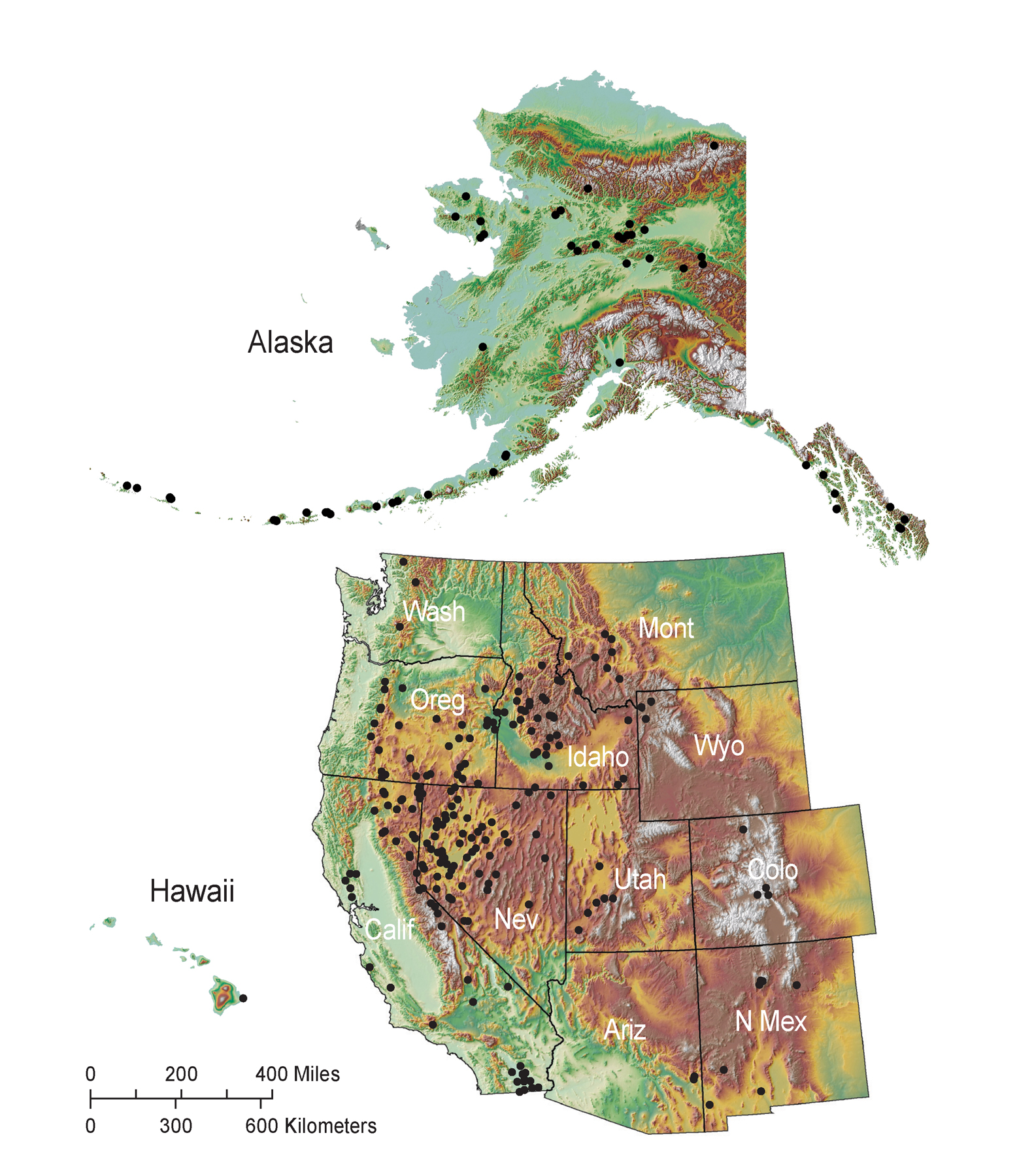
Map showing the location of identified moderate-temperature and high-temperature geothermal systems in the United States. Each system is represented by a black dot. From the 2008 USGS Geothermal Resource Assessment (Fact Sheet 2008–3082).
Sources/Usage
Public Domain.