
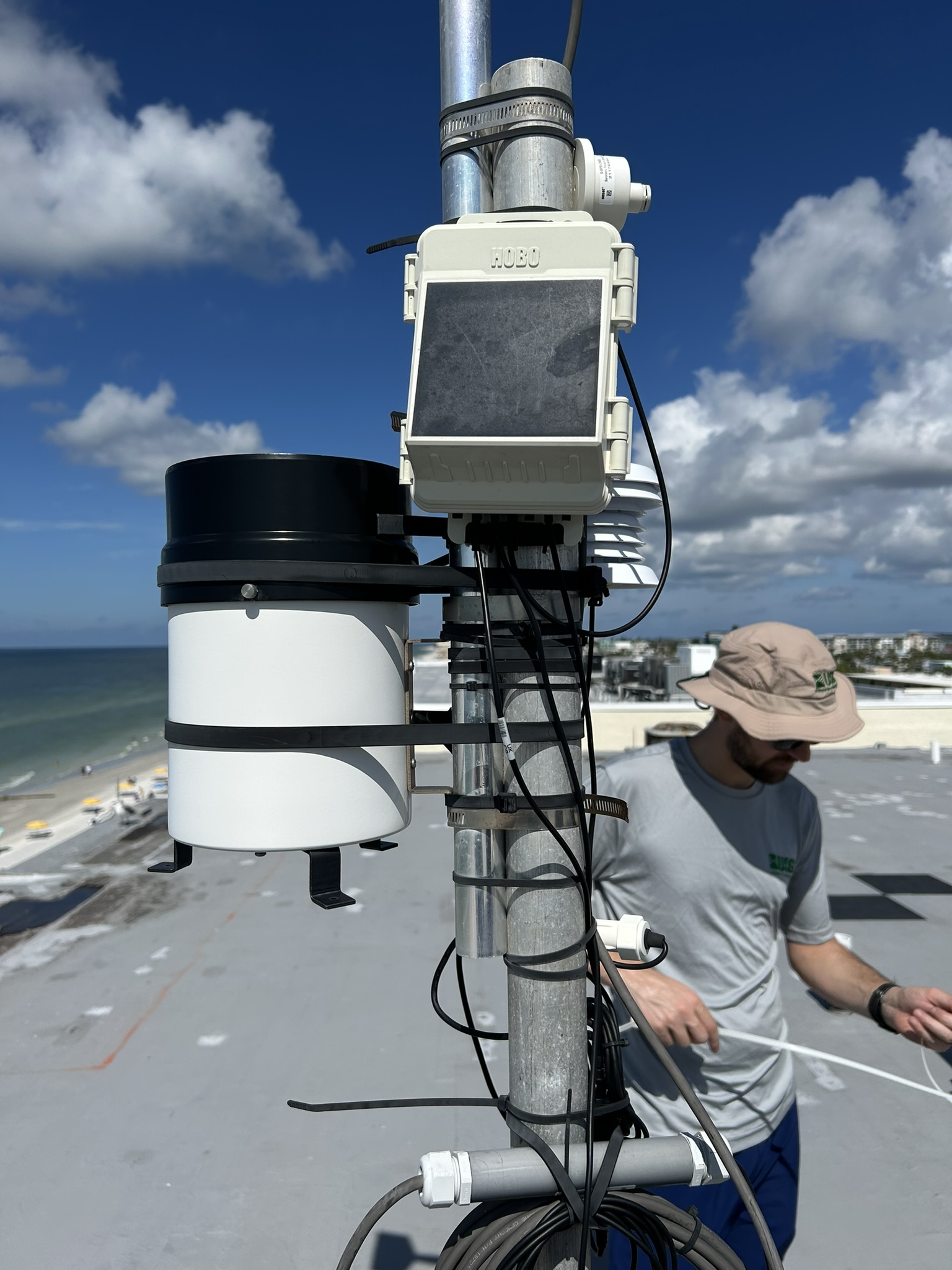
USGS CoastCam at Madeira Beach, pre-Helene

Detailed Description
The USGS operates a number of cameras around the United States to monitor beaches, rivers, and geologic features. This installment at Madeira Beach, FL helps scientists validate hazard models and provides a resource to local stakeholders who want to keep track of beach conditions. It generates critical data for understanding how storms impact coastal zones and leads to more robust public safety information.
Sources/Usage
Public Domain.