
USGS To Map Hayward Fault Using Seismic Energy from Building Implosion

Detailed Description
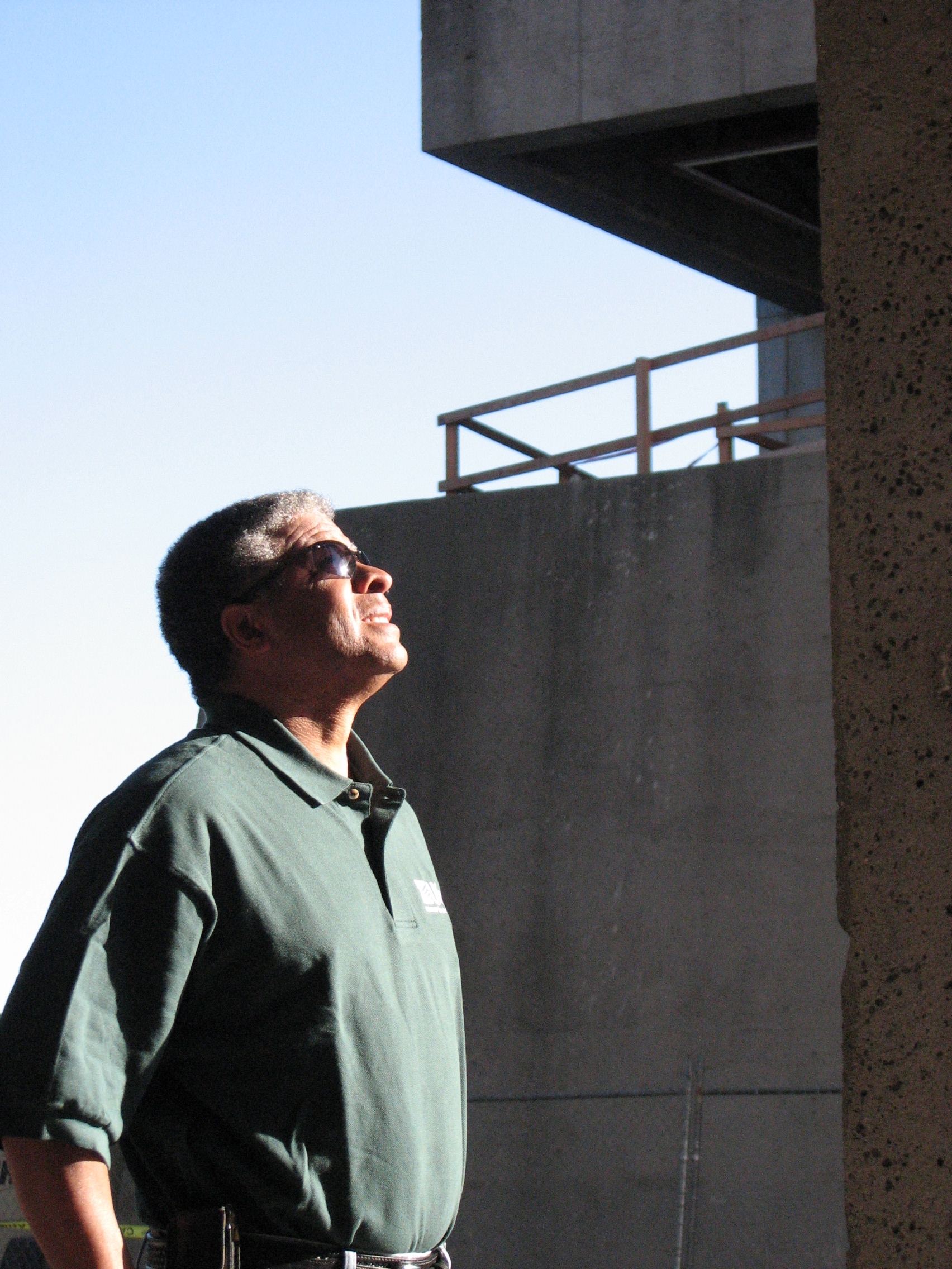
Dr. Rufus Catchings, USGS research geophysicist, ponders how close his team can place seismometers to Warren Hall (in background) without having them damaged by the implosion. The landmark building's implosion will produce energy similar to a small earthquake that can be used to study and map the nearby Hayward Fault. In partnership with the university, USGS scientists will monitor the pulse of energy created by the implosion on nearly 600 seismometers temporarily placed in a mile radius around the building with help from hundreds of citizen-scientist hosts and volunteers.
Sources/Usage
Public Domain.