
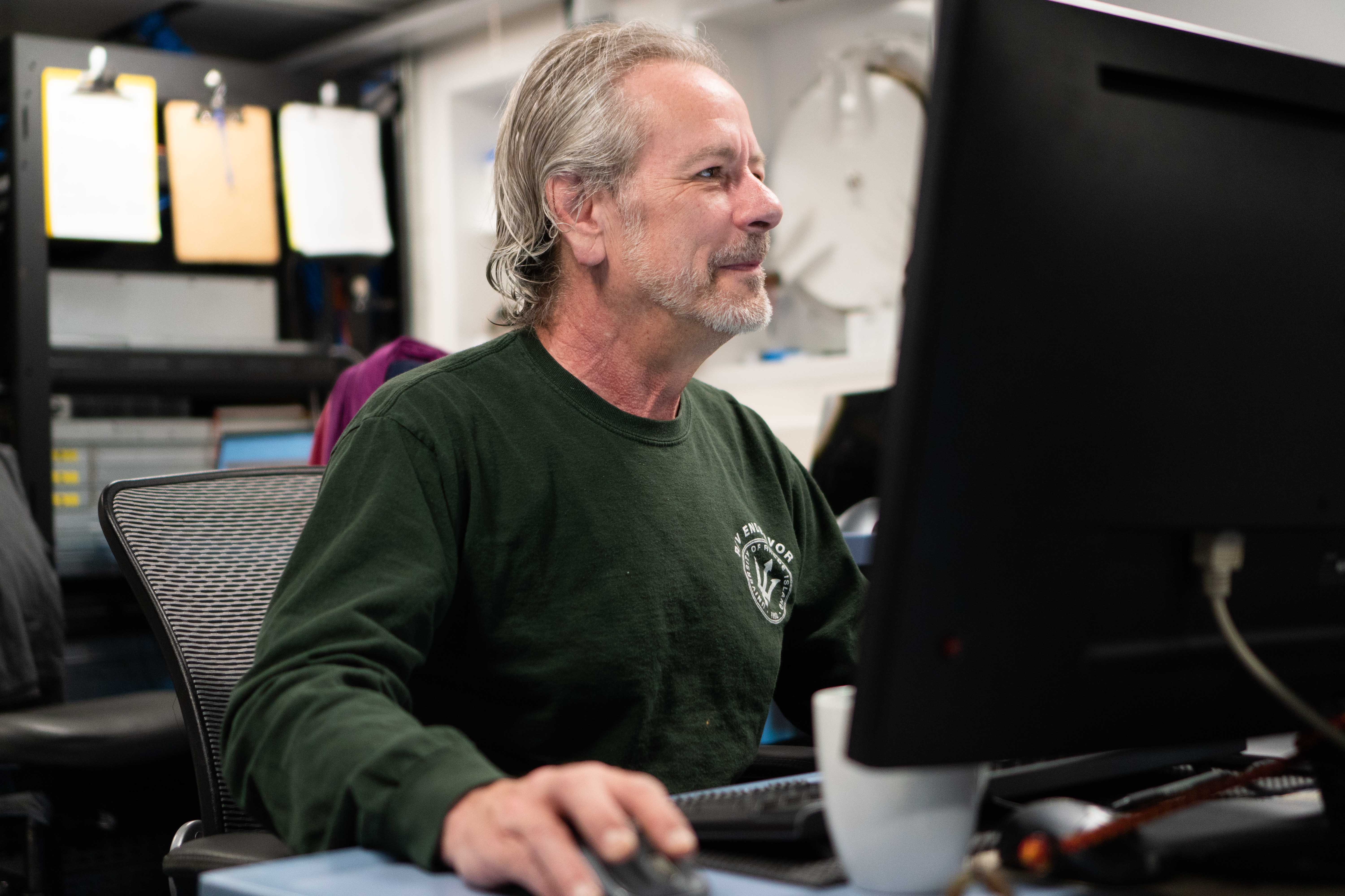
USGS Scientist Bill Danforth Monitors the Seafloor Mapping

Detailed Description
USGS scientist Bill Danforth monitors the multibeam scanner’s information as R/V Falkor transits the seas overnight.
Sources/Usage
Courtesy of Schmidt Ocean Institute