
By Woods Hole Coastal and Marine Science Center
June 28, 2019
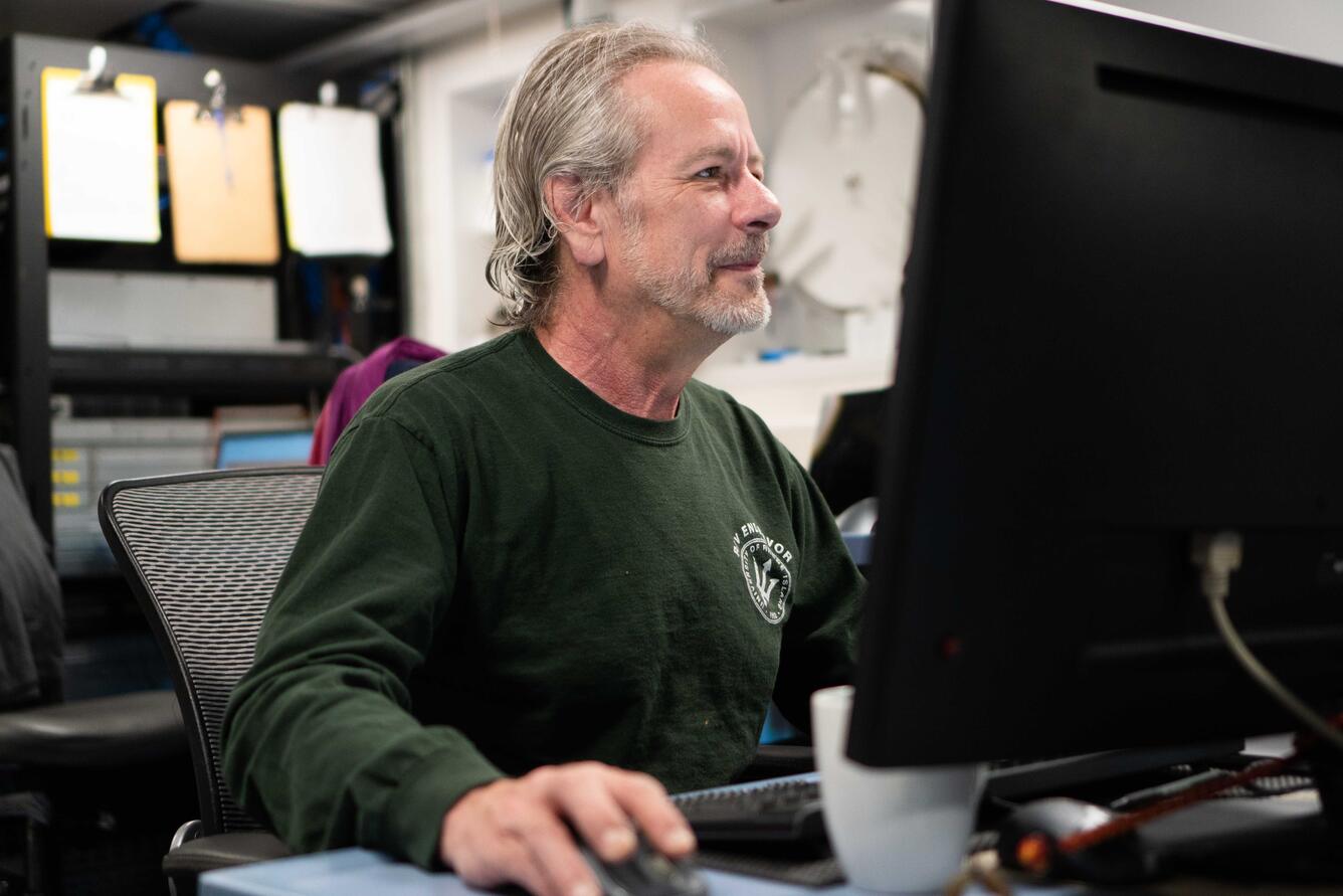
How does USGS geologist, Bill Danforth, plan the technological and seafloor mapping path forward during the #HuntingforBubbles cruise along the Cascadia Margin?
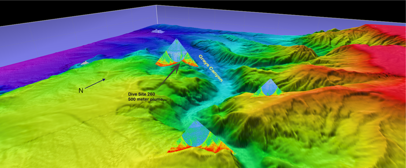
From June 12 to July 3, 2019, the USGS is sailing onboard Schmidt Ocean Institute’s R/V Falkor with several other partners, seeking methane seeps along the seafloor of several underwater canyons off the coast of Oregon and Washington. Read all about Bill's tremendous contribution to the success of this cruise! Seeking the Seeps.
Media
Sources/Usage: Some content may have restrictions. View Media Details
Media
Sources/Usage: Public Domain. View Media Details
Related

Seeking the Seeps
From June 12 to July 3, 2019, the USGS sailed onboard Schmidt Ocean Institute’s R/V Falkor with several other partners, seeking methane seeps along the seafloor of several underwater canyons off the coast of Oregon and Washington. On this cruise, USGS scientists will seek to understand how much methane is coming out of these seeps, how it travels through the water column, and its ultimate fate in...
By
Ecosystems Mission Area, Natural Hazards Mission Area, Coastal and Marine Hazards and Resources Program, Pacific Coastal and Marine Science Center, St. Petersburg Coastal and Marine Science Center, Wetland and Aquatic Research Center , Woods Hole Coastal and Marine Science Center, Communications and Publishing, Deep Sea Exploration, Mapping and Characterization, Subduction Zone Science

Sea Floor Mapping Group
The Sea Floor Mapping Group (SFMG) is a core capability at the Woods Hole Coastal & Marine Science Center (WHCMSC) that provides support for coastal, lacustrine and marine geologic research. The staff has a wide-range of expertise and is responsible for geophysical and sampling data acquisition, processing, interpretation and publication, logistics, design, and research and development. SFMG has...
Related
Seeking the Seeps
From June 12 to July 3, 2019, the USGS sailed onboard Schmidt Ocean Institute’s R/V Falkor with several other partners, seeking methane seeps along the seafloor of several underwater canyons off the coast of Oregon and Washington. On this cruise, USGS scientists will seek to understand how much methane is coming out of these seeps, how it travels through the water column, and its ultimate fate in...
By
Ecosystems Mission Area, Natural Hazards Mission Area, Coastal and Marine Hazards and Resources Program, Pacific Coastal and Marine Science Center, St. Petersburg Coastal and Marine Science Center, Wetland and Aquatic Research Center , Woods Hole Coastal and Marine Science Center, Communications and Publishing, Deep Sea Exploration, Mapping and Characterization, Subduction Zone Science
Sea Floor Mapping Group
The Sea Floor Mapping Group (SFMG) is a core capability at the Woods Hole Coastal & Marine Science Center (WHCMSC) that provides support for coastal, lacustrine and marine geologic research. The staff has a wide-range of expertise and is responsible for geophysical and sampling data acquisition, processing, interpretation and publication, logistics, design, and research and development. SFMG has...