



USGS scientists present remote sensing data for supporting water resource management


Detailed Description
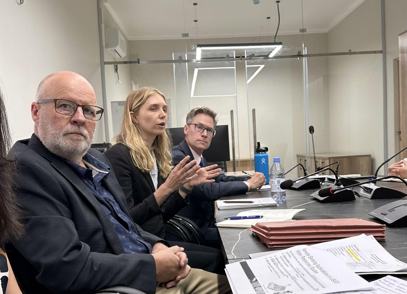
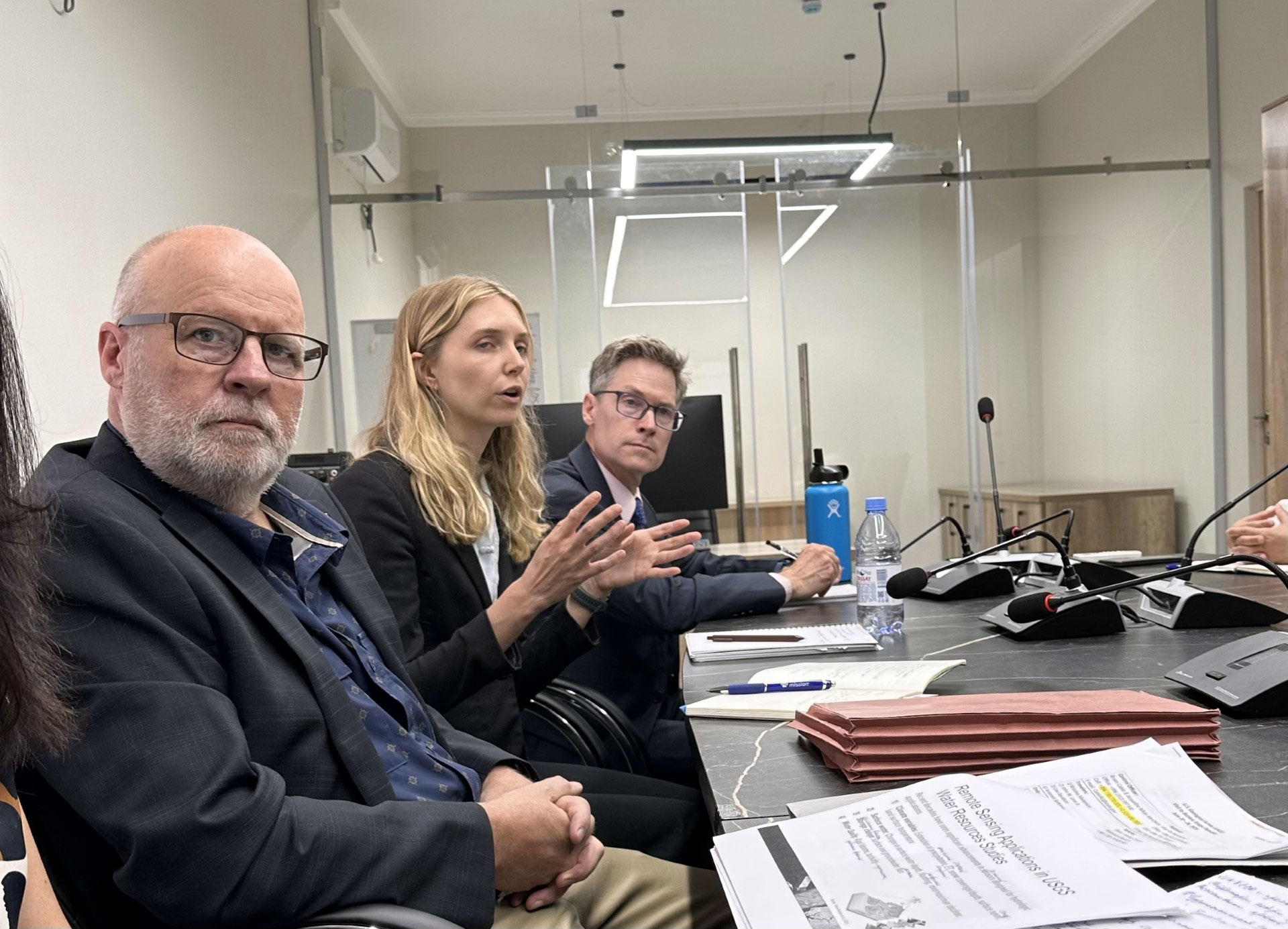
Dr. Lea Davidson (center) and Dr. John Lane (left) explain how USGS remote sensed data products can be processed to create a data visualization dashboard that supports water resource management in the Kyrgyz Republic.
Sources/Usage
Public Domain.