
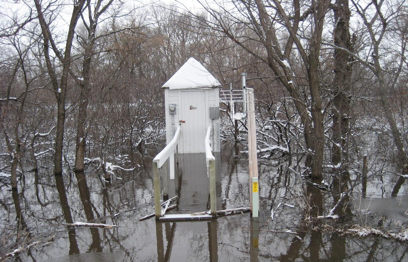
USGS Stream gage 5053000 Wild Rice River nr Abercrombie, ND
Detailed Description
USGS Stream gage 5053000 Wild Rice River nr Abercrombie, ND .
How long has it been operating? 1932 - Current (87 years) What is this gage primarily used for? Continuous Streamflow Any fun facts about that gage? Not that I can recall but I attached a few more photos from the event. The bridge and road are under water in the boating picture. The streamgage is just upstream.
This station is operated with funds provided by: USGS Federal Priority Streamgage (formerly NSIP)
Sources/Usage
Public Domain.