
USGS to survey Kīlauea Volcano from its summit to Kumukahi
Detailed Description
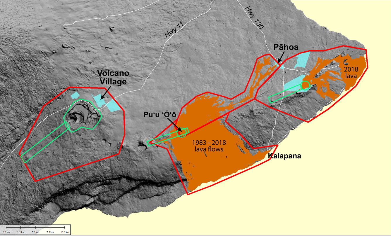
Areas on Kīlauea that will be covered by a helicopter lidar survey in June 2019. Red lines enclose areas over which the survey helicopter will fly at 396 m (1,300 ft) above ground level. Green lines enclose areas over which the helicopter will fly at 151 m (500 ft) above ground level. USGS map.
Sources/Usage
Public Domain.