
USGS uses drone with thermal infrared camera to study water resources
Detailed Description
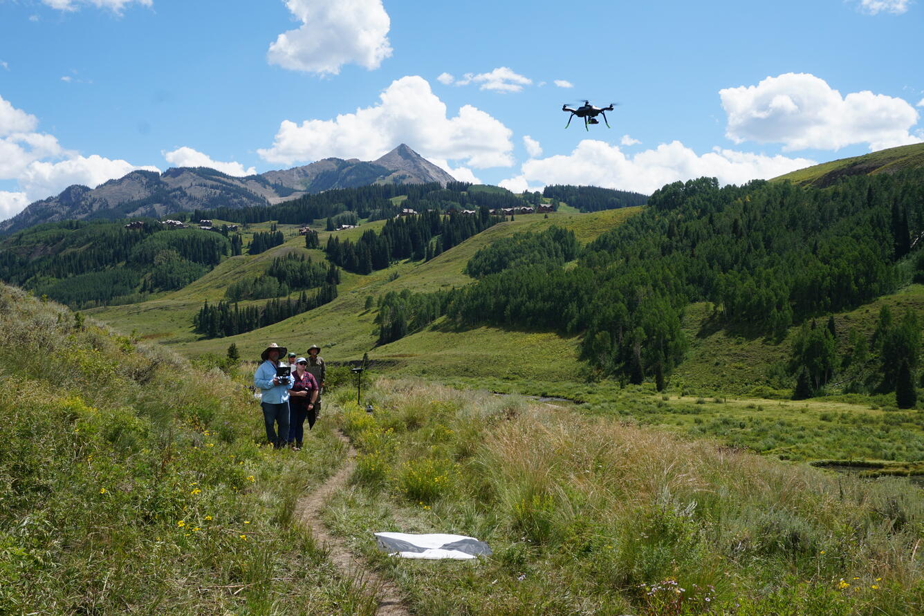
USGS Hydrologist Eric White flies a small unoccupied aircraft system – sUAS or "drone" – equipped with a thermal infrared camera during a groundwater/surface-water exchange study along the East River in Gunnison National Forest near Gothic, Colorado, in August 2017. The study was part of a multi-year project by the USGS Water Resources Mission Area Hydrogeophysics Branch.
Sources/Usage
Public Domain.