
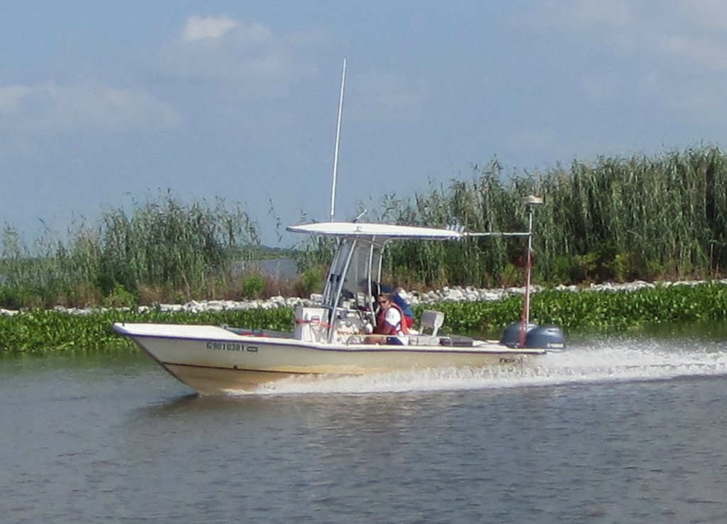
USGS vessel used to collect single-beam bathymetry
By St. Petersburg Coastal and Marine Science Center
2015 (approx.)
Detailed Description
This USGS vessel acquires single-beam bathymetry in shallow nearshore environments. We acquire repeat bathymetry surveys over multiple years and compute changes in bathymetry, thus allowing us to identify hotspots of erosion and deposition on short timescales.
Sources/Usage
Public Domain.