
Water depth plot for Kilauea Volcano summit water lake
Detailed Description
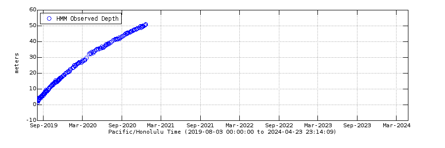
Water formed a tiny pond at the bottom of Halema‘uma‘u Crater, at the summit of Kīlauea Volcano, in late July 2019. The pond slowly deepened until it was vaporized during the onset of an eruption in the crater on December 20, 2020. HVO scientists measured water level almost daily using a small laser rangefinder mounted on a tripod. The measurements were made dependent on weather, wind, and staff availability. The rangefinder calculated the vertical distance (in meters; one meter is approximately equal to one yard) above the water surface. This distance was subtracted from the known elevation of the laser rangefinder to yield the elevation of the water surface. The elevation of the floor of Halema‘uma‘u crater, determined before the pond formed, was then subtracted from the elevation of the water surface to give the depth of the pond above. The water depths depicted here resulted from 15–20 measurements made for several minutes on one particular day. The water body was more than one kilometer from the rangefinder, and measurement errors at this distance may have yielded small apparent fluctuations in water depth that were not real.
Sources/Usage
Public Domain.