



Watershed Boundary Comparison: Low-Resolution Data versus Lidar-Derived Data
By New England Water Science Center
October 2026 (approx.)

Detailed Description
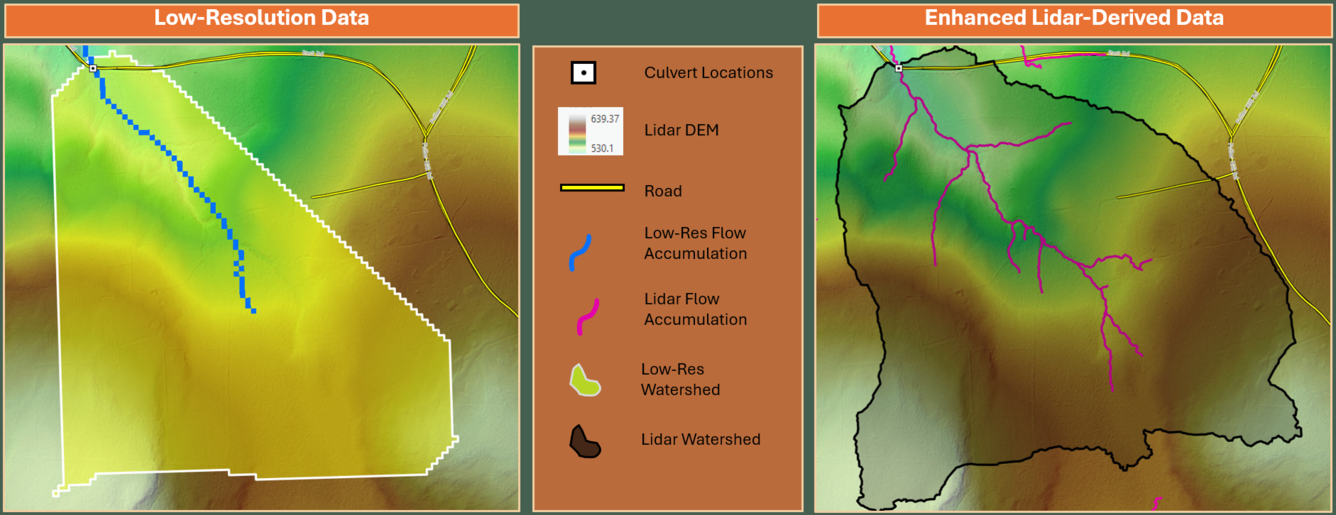
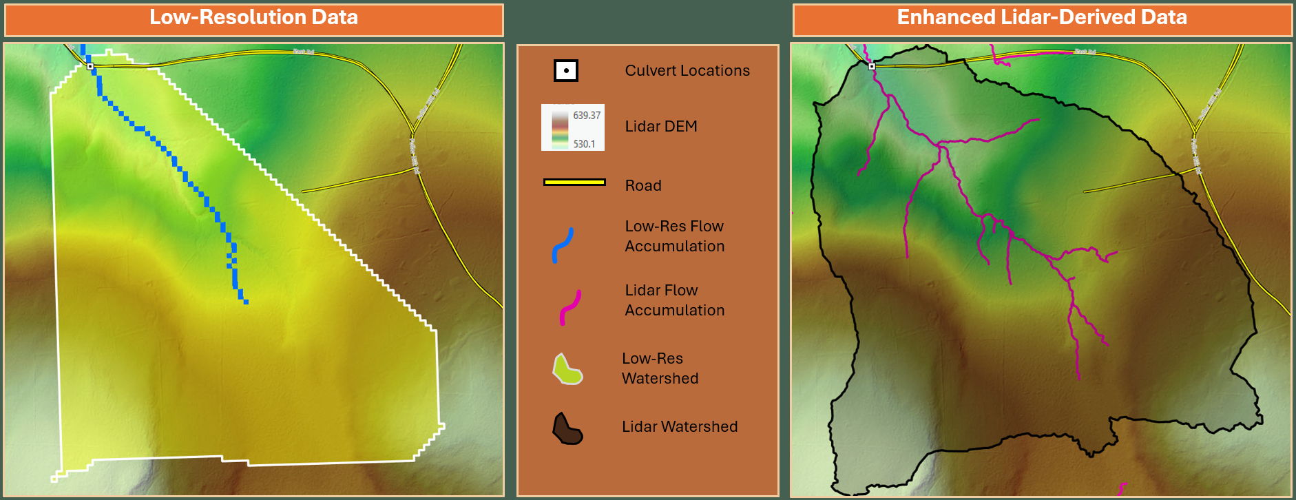
Example of an old watershed boundary delineated from low-resolution topographic data compared to a watershed boundary delineated from enhanced lidar-derived data.
Sources/Usage
Public Domain.
Related
A Culvert Sizing Tool for Vermont StreamStats
Vermont currently (2025) manages nearly 15,000 culverts, many of which are undersized and classified as being in urgent, critical, or poor condition. After large flooding events, stream crossing structures are frequently replaced in kind with little ability to integrate best available topography and design flows. The USGS, in cooperation with Vermont Agency of Transportation (VTrans), is updating...
Related
A Culvert Sizing Tool for Vermont StreamStats
Vermont currently (2025) manages nearly 15,000 culverts, many of which are undersized and classified as being in urgent, critical, or poor condition. After large flooding events, stream crossing structures are frequently replaced in kind with little ability to integrate best available topography and design flows. The USGS, in cooperation with Vermont Agency of Transportation (VTrans), is updating...