
Yosemite - a map.
By Geology and Ecology of National Parks
June 1990 (approx.)
Detailed Description
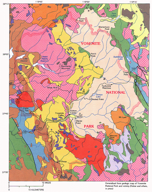
This is a map of Yosemite National Park, that is colored to show the different parts of the region that were photographed, and cataloged by USGS around the late 1800s to early 1900s.
Sources/Usage
This is a photo of a Mirror View of El Capitan.