
Earthshots Comparison with Lake Powell TBDEM


Related

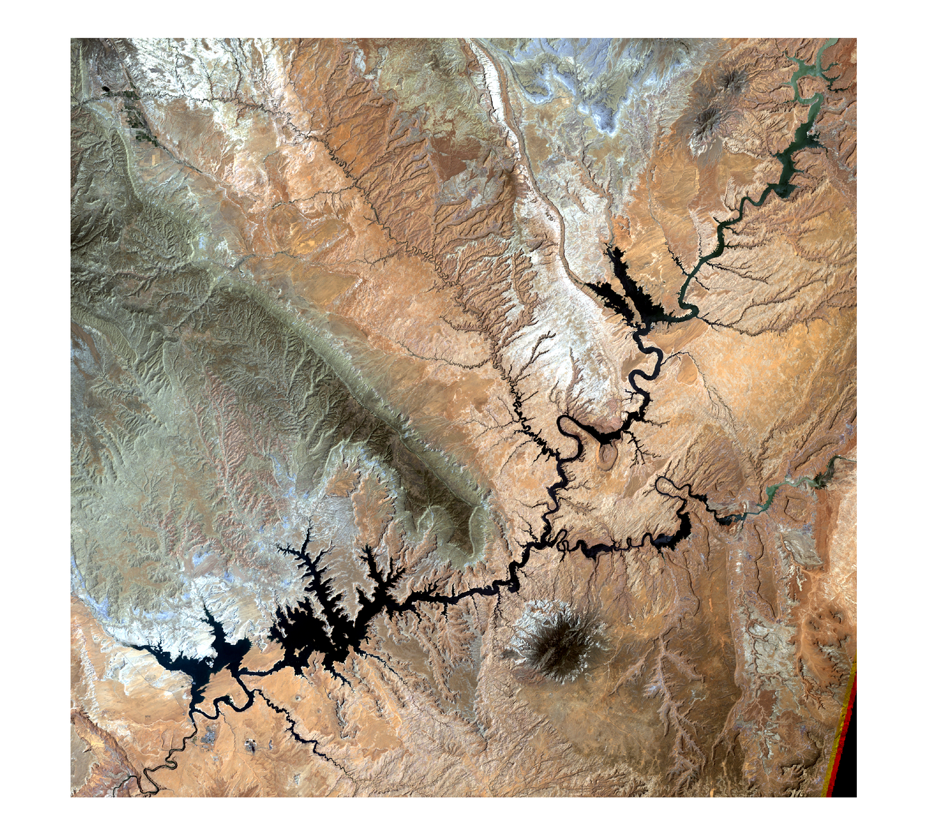
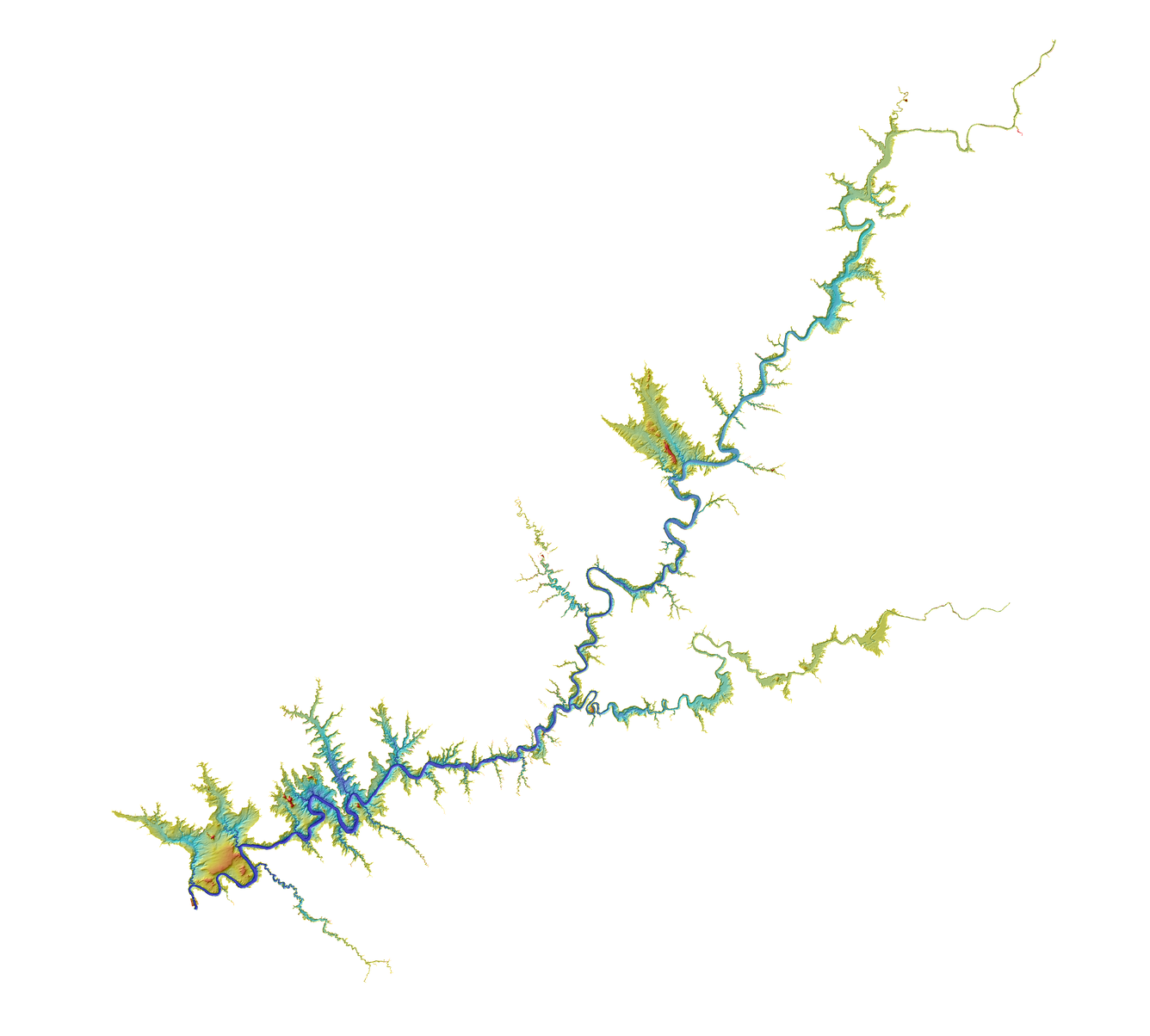
3D Topobathymetric Digital Elevation Model for Lake Powell Storage Capacity Assessment
To support the modeling of the Colorado River water storage area capacity tables by the U.S. Geological Survey (USGS) Utah Water Science Center, the USGS Earth Resources Observation and Science (EROS) Center created a 3D high-resolution topobathymetric digital elevation model (TBDEM) for Lake Powell. Located in south-central Utah and north-central Arizona, the second largest man-made reservoir in...
Related
3D Topobathymetric Digital Elevation Model for Lake Powell Storage Capacity Assessment
To support the modeling of the Colorado River water storage area capacity tables by the U.S. Geological Survey (USGS) Utah Water Science Center, the USGS Earth Resources Observation and Science (EROS) Center created a 3D high-resolution topobathymetric digital elevation model (TBDEM) for Lake Powell. Located in south-central Utah and north-central Arizona, the second largest man-made reservoir in...