
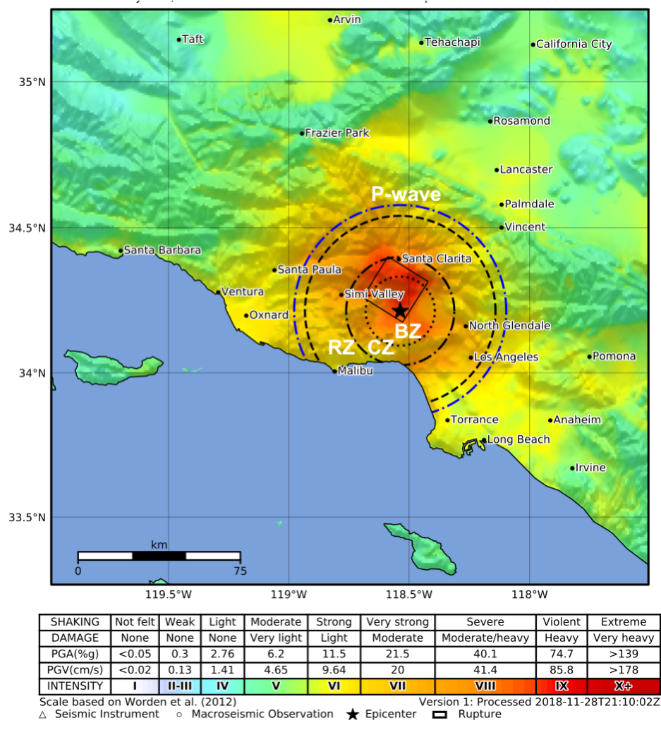
The Blind Zone of Earthquake Early Warning
By Earthquake Hazards Program
June 1, 2020
One USGS scientist has sorted through the challenges, the claims, and the data to determine what the possibilities and limitations really are for EEW, and the results may surprise you.
Read the new Science for Everyone article: The Blind Zone of Earthquake Early Warning
Media
Sources/Usage: Public Domain. View Media Details