
Information Flows Freely, Even in a Drought
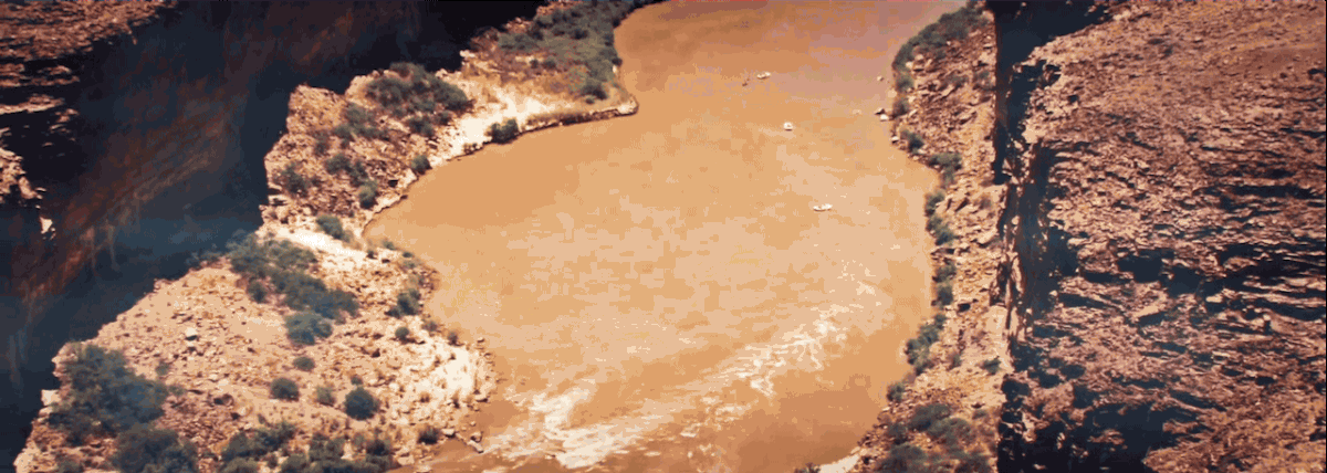
The Colorado River system provides about 35 million Americans with a portion of their water supply. It irrigates 5½ million acres of land in the West and provides water to tribes, parks, and wildlife. The system serves parts of seven States and Mexico—but reservoir levels have crept lower over the past several years, sparking questions about how much water remains and who will have access.
“The [river] basin has been in the grip of an unprecedented drought since about 2000,” said Angela Adams, a program manager in the Lower Colorado Regional Office for the Bureau of Reclamation (Reclamation), the agency managing the Colorado River Basin’s water. “There’s been growing demand on the river while the amount of water that’s in the system has been slowly decreasing since the early 1900s.” With such a large system, keeping the stakeholders informed of the river’s status and how the water is allotted can be a confusing process.
Fortunately, the information drought ended in December 2015, when Reclamation and the U.S. Geological Survey (USGS) unveiled the Colorado River Basin Drought Visualization App: a free, online application that gathers existing data on various aspects of the river system into a single, user-friendly space.


Developed to support the Open Water Data Initiative (OWDI), the Department of the Interior’s charge to improve water data infrastructure, the app presents a user-friendly view of water conditions in the Colorado River Basin, from the past to the future. The clear visual representation of complicated data can help policymakers in Washington understand the complex river system and help teachers and students explore the water conditions of the American Southwest.
“Early on,” Adams recalled, “our use-case team became aware of relevant water research by the USGS with regards to the California Drought visualization and thought that it might be interesting to explore an expansion of that initial visualization.” Reclamation reached out to the USGS and formed a partnership to gather information on the Colorado River Basin and present localized, accessible information to the public and policymakers.
“The way that we approached it was this really flat style of collaboration where everyone on the team has a voice,” said Emily Read, a civil engineer for the USGS Office of Water Information and another leader on the project. The USGS possessed the software engineering capabilities and a good understanding of water information data, but even more beneficial, Adams suggested, was their “understanding of the principles and science behind water use, water engineering, and water issues."


David Blodgett, the project coordinator for the USGS Office of Water Information Center for Integrated Data Analytics, remarked that OWDI is making important water management work more efficient. By bringing water management data to the forefront, the OWDI began filling in gaps and solving problems individual agencies couldn’t cover.
The Colorado River Basin Drought Visualization App was one of the strongest examples of OWDI’s success. “It was a huge thing for multiple agencies to get together and build this public view,” he said. He cautioned that revamping data management infrastructure will take more than a couple of years to show large-scale results, but he also indicated that the OWDI is already having an effect. “We’re seeing this change happening,” he said. “It’s just the nature of the change that we’re trying to make is significant.”

In its first nine months, the app received over 60,000 pageviews, primarily in California, Colorado, and Arizona. A Spanish-language version is in development to make the app even more widely accessible.
Adams hopes the app will enable people “to have a better understanding of the complexity of the drought situation on the river, as well as how the river is managed operationally.” No other site brings together the same types of data to capture the basin’s conditions during drought over such an extended time period. The Colorado River Basin Drought Visualization App helps inform decisions that affect the millions of Americans who depend on the system for water.


Read more stories about USGS science in action.