FY22 U.S. Geological Survey Broad Agency Announcement for 3D Elevation Program Released
The USGS has issued the Fiscal Year 2022 Broad Agency Announcement (BAA) for the 3D Elevation Program. Partnership opportunities for the acquisition of lidar data now available.
On August 16, 2021, the USGS issued the FY22 Broad Agency Announcement (BAA) for 3D Elevation Program (3DEP). The BAA provides a vehicle for partnering with the USGS and other Federal agencies to acquire high-resolution 3DEP data. The 3DEP BAA is a public process to develop partnerships for the collection of lidar and derived elevation data for 3DEP. The 3DEP BAA provides an opportunity for ongoing national collaboration so that Federal, State, and local governments, the private sector, and citizens may have access to and derive benefits from 3D elevation data. More information about the BAA process is available at https://usgs.gov/3DEP/BAA.
Information and contacts for the FY22 BAA are now available at SAM.gov (Reference Number: DOIGFBO210044) and Grants.gov (Funding Opportunity Number: G22AS00013). More information and links available on the FY22 BAA page at https://usgs.gov/3DEP/FY22BAA. Proposals are due by 5:00 pm Eastern October 8, 2021.
Applicants may contribute funds toward lidar data acquisition via the Geospatial Products and Services Contracts or they may request 3DEP funds toward lidar data acquisition where the requesting partner manages the data acquisition contract. Federal agencies, State and local governments, Tribes, academic institutions, and the private sector are eligible to submit proposals.
A national public webinar that provided instructions on preparing BAA submissions was conducted on August 11, 2021. A recording of the webinar presentation, frequently asked questions (FAQs), and other BAA reference materials are available on the FY22 BAA page at https://usgs.gov/3DEP/FY22BAA. Questions about the BAA can be submitted to gs_baa@usgs.gov.
About 3DEP and the BAA
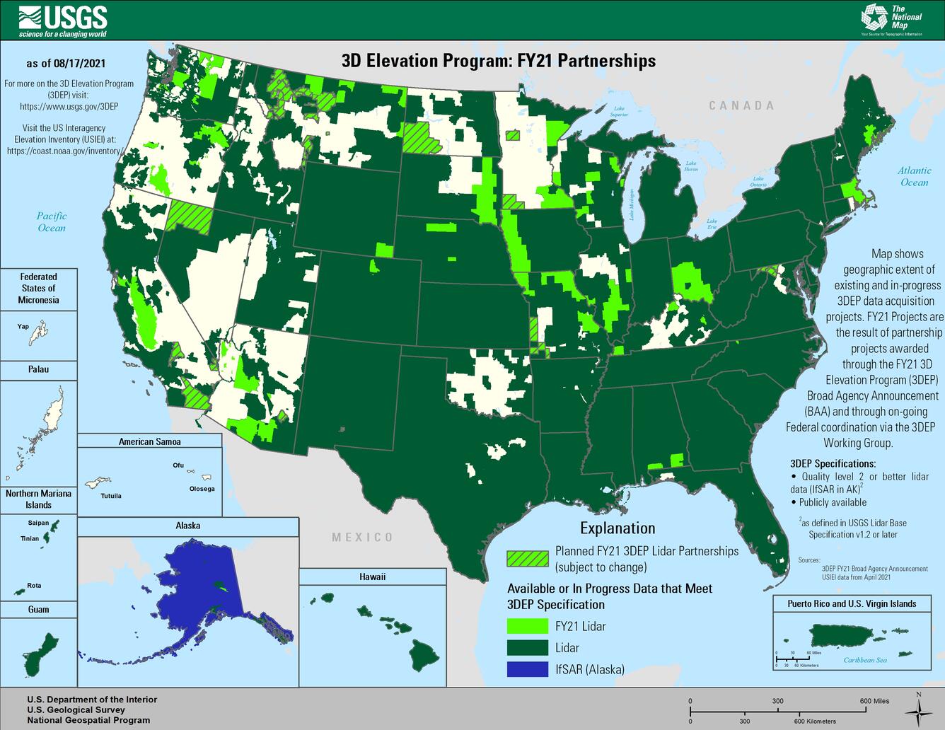
To respond to growing needs for high-quality elevation data, the goal of 3DEP is to complete acquisition of nationwide lidar (IfSAR in AK) to provide the first-ever national baseline of consistent high-resolution topographic elevation data – both bare earth and 3D point clouds – collected in a timeframe of less than a decade. High-quality elevation data are critical to a wide array of nationally significant applications including flood-risk management, infrastructure management, critical minerals exploration, alternative energy development, natural-hazard evaluation and mitigation, agriculture and resource management, and conservation.
3DEP is designed to provide more than \$690 million annually in benefits to government entities, the private sector and citizens. The program presents a unique opportunity for collaboration between all levels of government to leverage the services and expertise of private-sector mapping firms that acquire the data and to create jobs now and in the future. More information about 3DEP can be found at https://usgs.gov/3DEP.
Since 2015, more than 300 federal, state, local, and non-government partners have collaborated to acquire more than 2.7 million square miles of 3DEP data across the nation. At the end of FY20, 3DEP data were available or in-work for more than 78% of the nation and are available for download through The National Map.