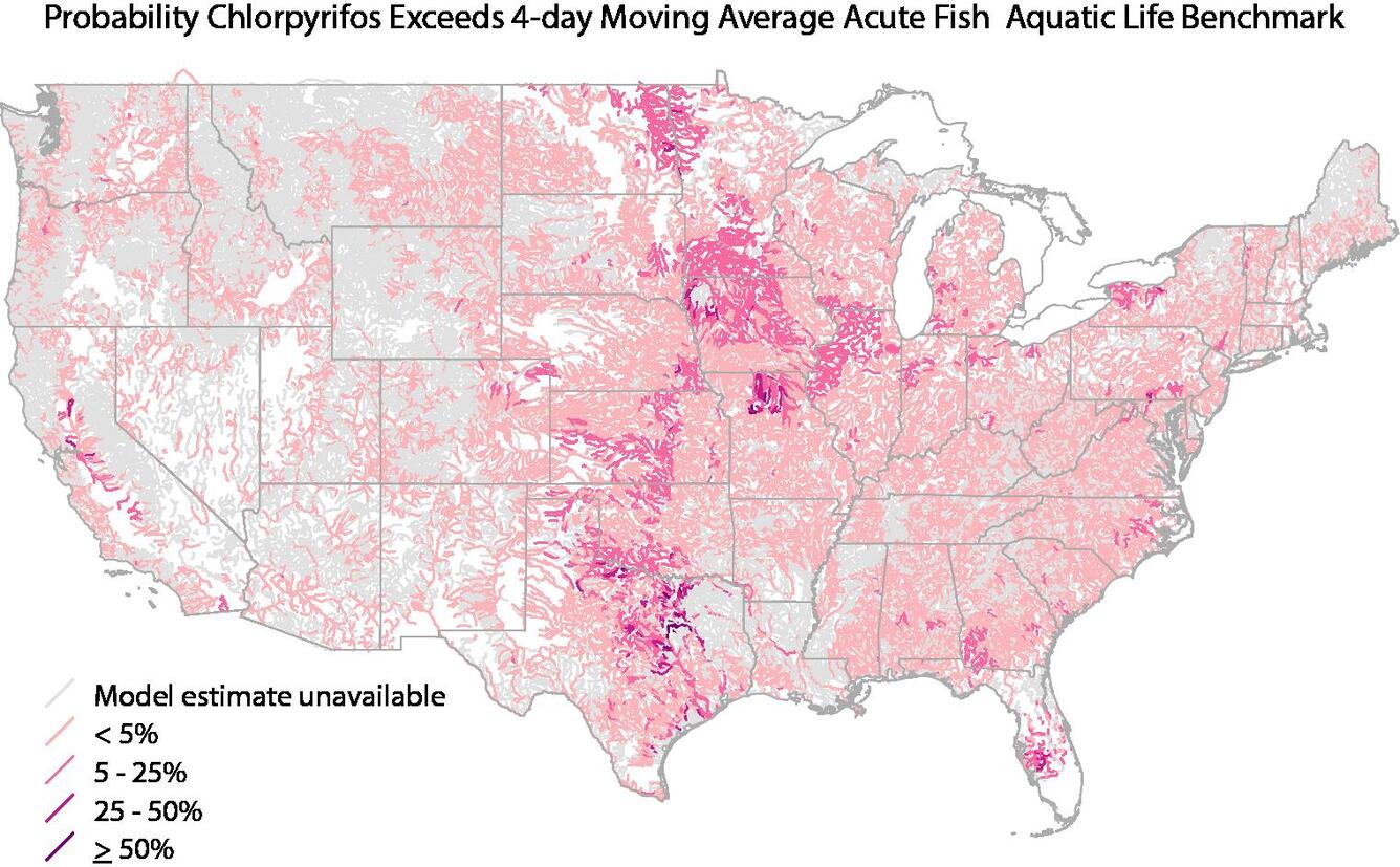
A new interactive mapping tool provides predicted concentrations for 108 pesticides in streams and rivers across the Nation and identifies which streams are most likely to exceed water-quality guidelines for human health or aquatic life.
Citizens and water managers can create maps showing where pesticides are likely to occur in local streams and rivers and evaluate the likelihood of concentrations exceeding water-quality guidelines. The predictions can also be used to design cost-effective monitoring programs.
“Because pesticide monitoring is very expensive, we cannot afford to directly measure pesticides in all streams and rivers,” said William Werkeiser, USGS Associate Director for Water. “This model can be used to estimate pesticide levels at unmonitored locations to provide a national assessment of pesticide occurrence.”
“The USGS pesticide model is a valuable tool that we can use, along with other modeling and analytical tools, to evaluate data as we complete ecological risk assessments for pesticides,” said Dr. Donald J. Brady, Director, Environmental Fate and Effects Division, Office of Pesticide Programs, U.S. Environmental Protection Agency.
“Streams and rivers most vulnerable to pesticides can be assessed,” said Wes Stone, USGS hydrologist and lead developer of the model. “For instance, many streams in the Corn Belt region are predicted to have a greater than 50 percent probability that one or more pesticides exceed aquatic-life benchmarks.
The online mapping tool is based on a USGS statistical model — referred to as WatershedRegression for Pesticides (or “WARP”) — which provides key statistics for thousands of streams, including the probability that a pesticide may exceed a water-quality benchmark and the reliability of each prediction.
The WARP model estimates concentrations using information on the physical and chemical properties of pesticides, agricultural pesticide use, soil characteristics, hydrology, and climate.
The model used by the mapping tool is based on data from USGS monitoring of pesticides in streams across the Nation since 1992 as part of the National Water-Quality Assessment(NAWQA) Program. Since 1991, NAWQA has been a primary source of nationally consistent data and information on the quality of the Nation’s streams and groundwater. Objective and nationally consistent water-quality data and models provide answers to where, when, and why the Nation’s water quality is degraded and what can be done to improve it for human and ecosystem needs.
Interactive mapping of predicted pesticide levels for streams in the U.S. are available online.
National maps and trend graphs of agricultural use of 459 pesticides from 1992 to 2012 for the conterminous U.S. are also available online.


