Photo and Video Chronology - Kīlauea - April 12, 2016
By Kīlauea
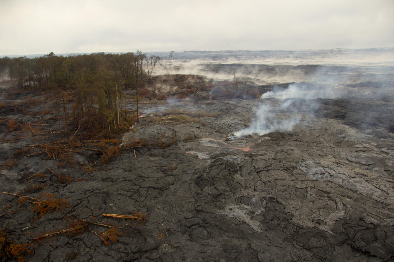
April 12, 2016
Scattered breakouts northeast of Pu‘u ‘Ō‘ō, no overall advancement

Official websites use .gov
A .gov website belongs to an official government organization in the United States.
Secure .gov websites use HTTPS
A lock () or https:// means you’ve safely connected to the .gov website. Share sensitive information only on official, secure websites.
Scattered breakouts northeast of Pu‘u ‘Ō‘ō, no overall advancement