An official website of the United States government
Here's how you know
Official websites use .gov
A .gov website belongs to an official government organization in the United States.
Secure .gov websites use HTTPS
A lock () or https:// means you’ve safely connected to the .gov website. Share sensitive information only on official, secure websites.
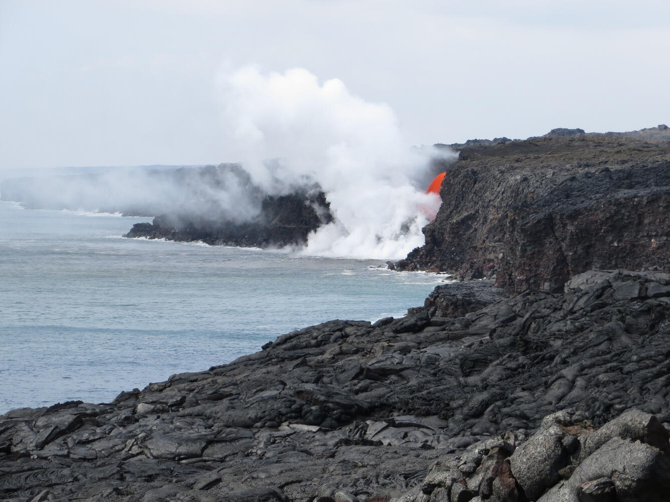
VIDEO: Kīlauea Volcano's Kamokuna ocean entry. Today, the "firehose flow" could be clearly seen from the public lava viewing area, 800 meters (about one-half mile) east of the ocean entry, in Hawai‘i Volcanoes National Park.
The "firehose flow" at Kīlauea Volcano's Kamokuna ocean entry was clearly visible from the public lava viewing area established by Hawai‘i Volcanoes National Park. The viewing area is 800 meters (about one-half mile) from the ocean entry, but affords excellent views of the lava flow.
Explosive interactions between the lava and ocean can throw spatter high onto the cliff around the ocean entry. Spatter in photo is visible scattered across the sea cliff with a glove for scale.
Close up view of the Pele's hair and Limu o Pele that blankets the sea cliff around the Kamokuna ocean entry. The coverage is especially thick in the areas downwind of the ocean entry which may make it difficult to see all areas of extended cracks.
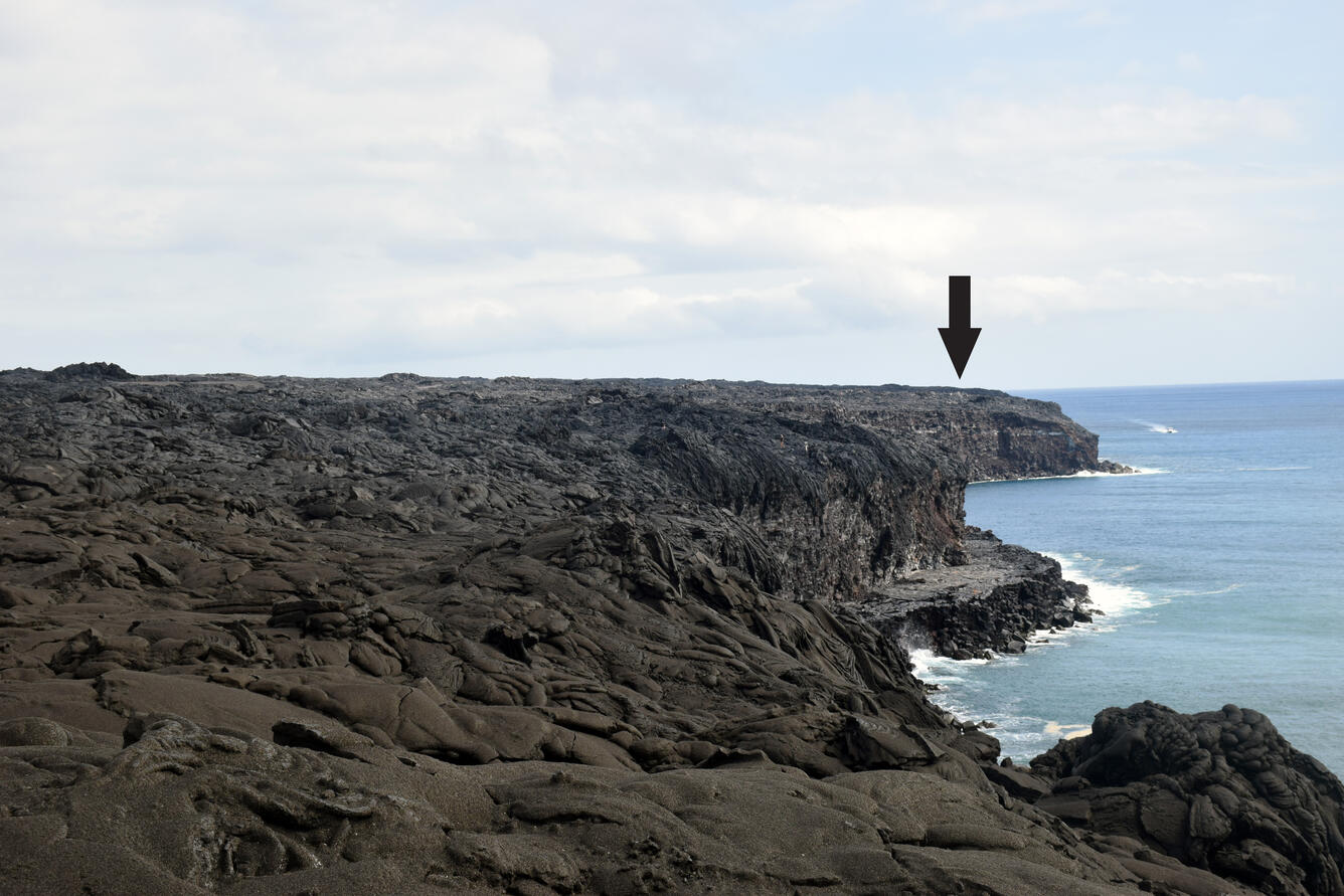
Photo of the upper portion of the "firehose" taken with a telephoto lens as the lava exits the 61g flow lava tube. There is no sign of a lava delta rebuilding as the lava continues to spill into the ocean.