An official website of the United States government
Here's how you know
Official websites use .gov
A .gov website belongs to an official government organization in the United States.
Secure .gov websites use HTTPS
A lock () or https:// means you’ve safely connected to the .gov website. Share sensitive information only on official, secure websites.
The June 27th lava flow remains active above Pāhoa. The tip of the flow remains stalled about 155 meters (170 yards) from Pāhoa Village Road, which crosses the photo at very bottom right. Smoke plumes are visible above town, caused by burning vegetation at the site of lava breakouts. All breakouts are above AP‘A‘ā Street, except for three small breakouts near Pāhoa cemetery. The largest plume in the top left of the photo is located several hundred meters (yards) above the transfer station. Other breakouts even further upslope were also producing smoke plumes, barely visible through the mist.
Looking roughly northeast, along the flow path, towards Pāhoa (just visible at the top of the photo). Brown scars in the forest on the left of the photo mark previous brush fires, sparked by the heat of the lava. The largest smoke plume at middle left of the photo is from a lobe of pāhoehoe lava, about 2.5 km (1.5 miles) above AP‘A‘ā Street, that has been advancing to the north.
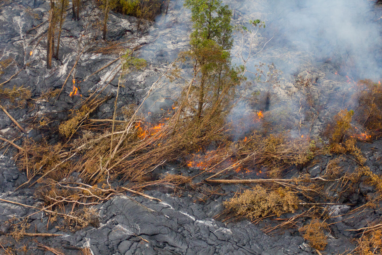
Closeup of breakout 2.5 km (1.5 miles) above AP‘A‘ā Street. Red glow is from both burning vegetation and active pāhoehoe lobes. Gray streaks are accumulations of ash where vegetation has burned on the flow surface.
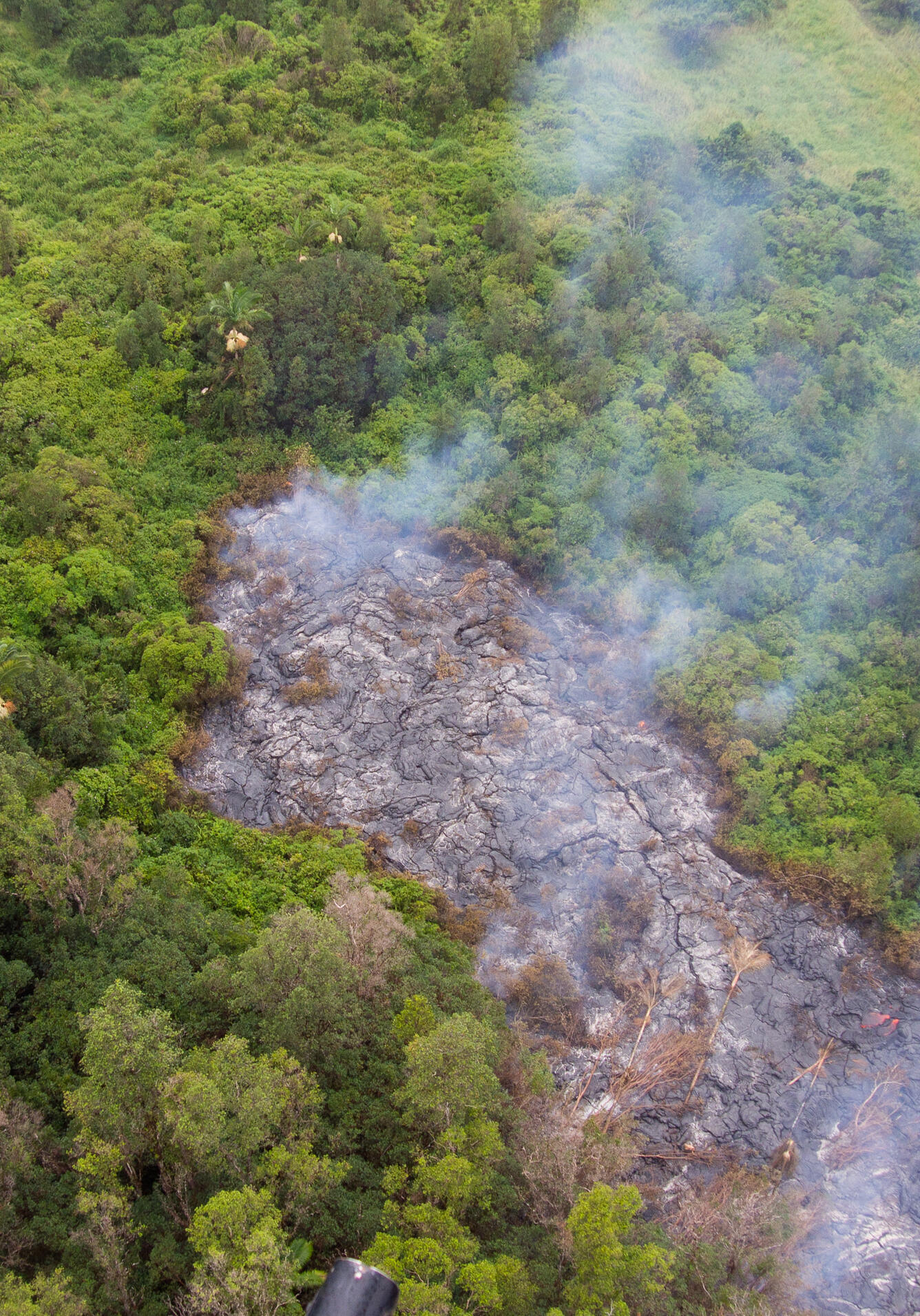
A small finger of lava has advanced into the vegetation just east of Kaohe Homesteads, on the south side of the flow. Active lava is visible near the bottom right of the image.