Hurricane Laura Temporarily Reverses Neches River
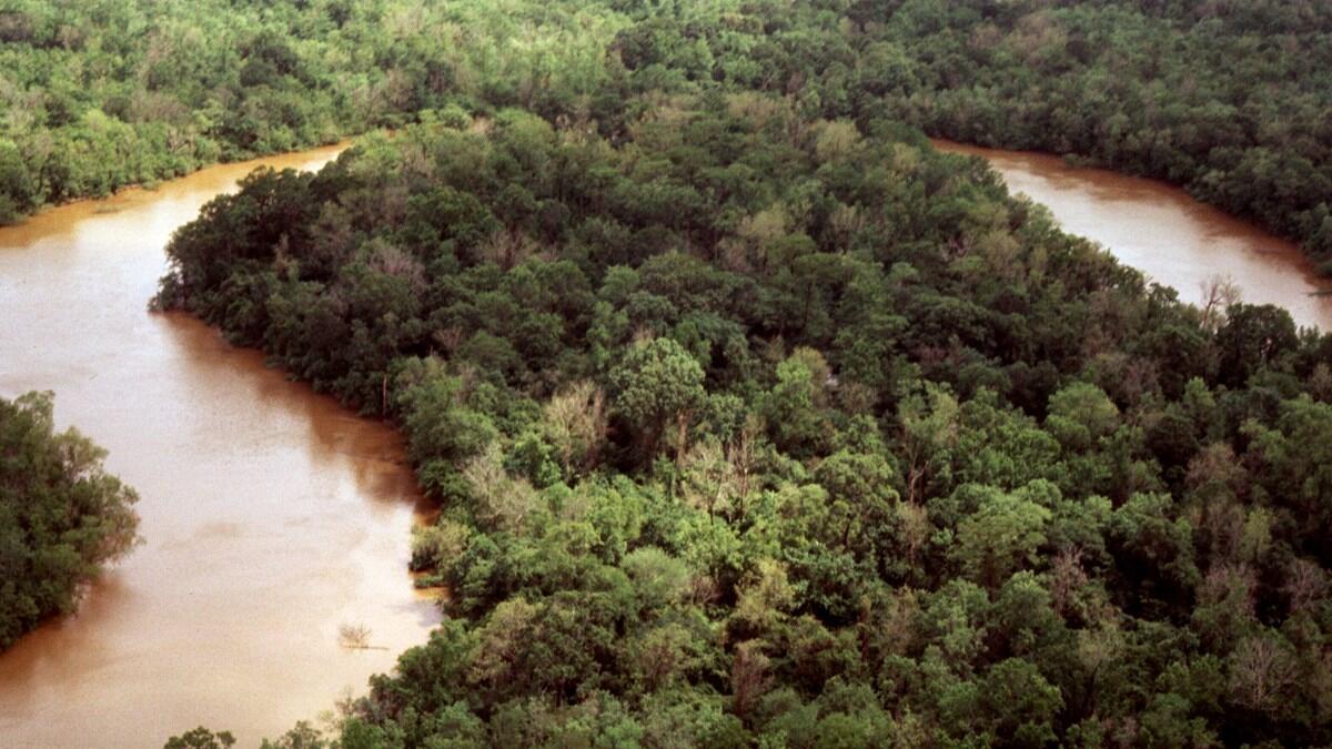
As Hurricane Laura came ashore near the Texas and Louisiana borders, its strong winds pushed so much water ahead of it that the Neches River even flowed backwards for a time, according to a USGS streamgage in Beaumont.

After fluctuating wildly during the outer bands, the Neches River reached a flow rate of approximately 15,000 cubic feet per second right as Hurricane Laura came ashore. That flow rate would fill an Olympic-size swimming pool in about 6 seconds.
When Hurricane Laura came ashore just east of Beaumont, though, all of the water and wind it pushed ahead of it caused the Neches River to slow, then reverse flow, reaching a flow rate of approximately 7,600 cubic feet per second upriver. That would fill an Olympic-size swimming pool in about in about 12 seconds. This wasn't permanent, though; after about 12 hours, the Neches River resumed its normal direction of flow towards Sabine Lake.
For comparison, in the few days prior to Hurricane Laura’s arrival, the Neches River had held steady at around 2-3,000 cubic feet per second, enough to fill an Olympic-size swimming pool in about 30 seconds.

This is not the first time we’ve documented the Neches River flowing backwards. It happened in 2008 when Hurricane Ike came ashore.
That, of course, was far more dramatic, with the Neches River flowing backwards at around 30,000 cubic feet per second upriver, or enough to fill an Olympic-size swimming pool in about 3 seconds.
You can see this and other USGS water data for the state of Texas in the USGS Texas Water Dashboard.