The National Map Corps Volunteer Spotlight
A dedicated and prolific citizen science volunteer with The National Map Corps endorses participation in TNMCorps project.
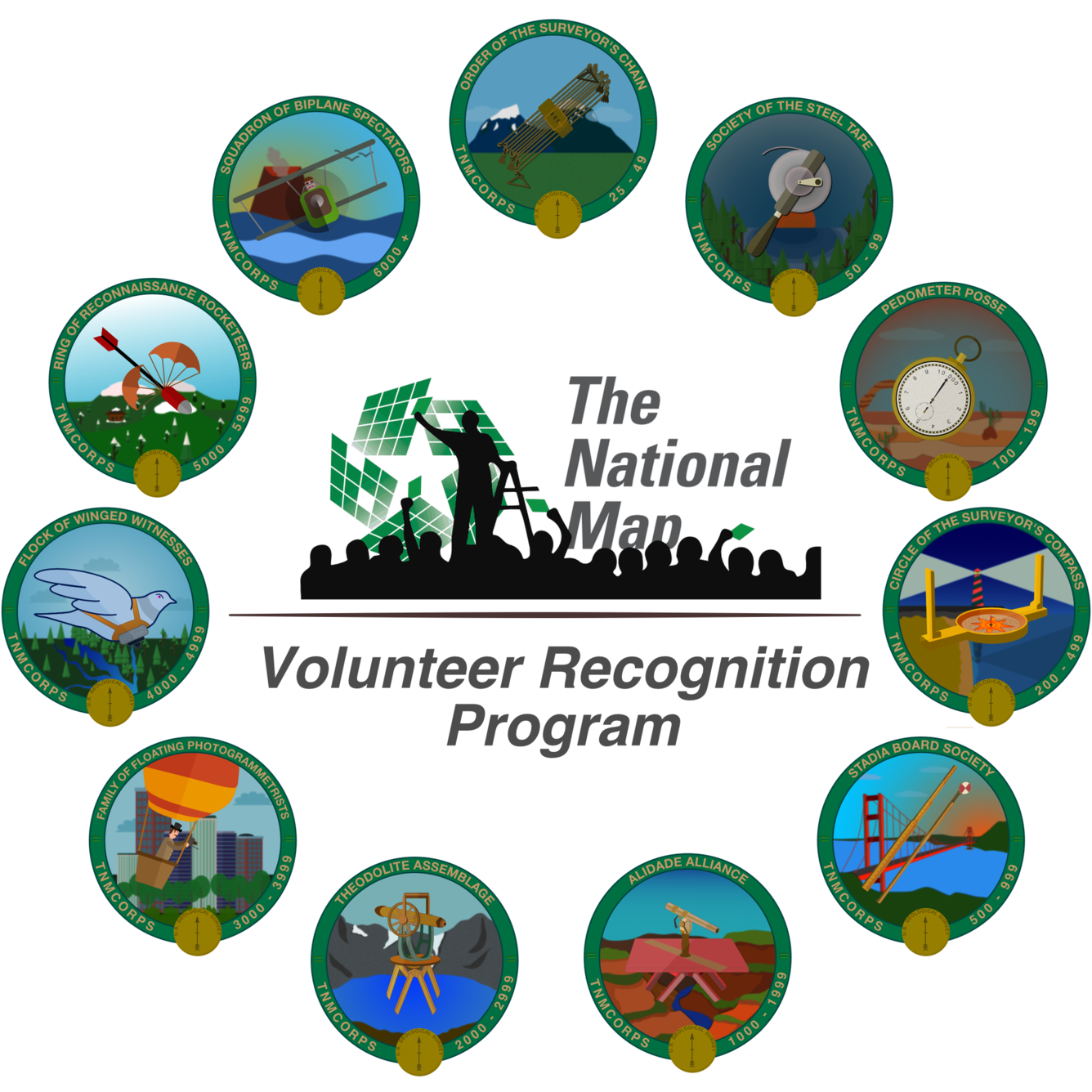
The National Map Corps is a citizen science program that leverages crowdsourcing techniques and volunteers to update structure data on USGS map products. To reward, recognize and motivate these participants, the program awards “virtual badges” as volunteers increase their number of submitted “points.”
A point represents a structure or manmade feature on a map such as a school, cemetery, hospital, post office, police station, or other important public buildings. Using an online web mapping application, volunteers research and update data that ultimately become part of The National Map structures dataset, which is available for download free of charge.

When registering with The National Map Corps, a potential participant is encouraged to select a screen name or “handle.” A few of these intrepid map volunteers have reached the top level of virtual badges, with a select few exceeding the top award! Today, we recognize “trmosher” who has reached one of the higher award levels in the TNMCorps project - the Theodolite Assemblage badge for editing and submitting more than 2,000 structures or points.
Here is trmosher’s story, reprinted by permission, and in his own words:
I have always had a heart for volunteering as that was how I was raised. The National Map Corps is just one of several volunteer activities that I am involved in.
The National Map Corps is such a great way for me to give back to my country that has blessed my life in so many ways. I see The National Map as an important tool that will benefit users and app developers in immeasurable ways.
TNMCorps encourages you to see for yourself what all the excitement is about. The only requirements to be an editor are a willingness to learn and access to the internet. Check out the online map editor, where you’ll also find links to the project overview, questions and answers (Q&A), user guides and much more. See you on the map!