
Photo and Video Chronology – American Samoa – August 2023
By Hawaiian Volcano Observatory
August 15, 2023
This month, USGS staff are in American Samoa to do outreach, strengthen relationships with partners, and maintain the monitoring network.
August 9, 2023 — Tutuila
Media

A view of Rainmaker Mountain to the east of Pago Pago harbor on Tutuila Island, American Samoa. Rainmaker Mountain was mapped in the 1940s as a trachyte plug by geologist Harold Stearns. Dense jungle, the highest annual rainfall in American Samoa, and its steep cliffs make it a formidable mountain to summit. USGS photo by D. Downs.
Sources/Usage: Public Domain. View Media Details
Media

A view to the west across Pago Pago harbor at Matafao Peak on Tutuila Island, American Samoa. Matafao Peak is the highest part of Tutuila Island at an elevation of 2,142 feet (653 meters) above sea level. It is part of the Matafao Peak National Natural Landmark. USGS photo by D. Downs.
Sources/Usage: Public Domain. View Media Details
August 7, 2023 — Ofu-Olosega and Ta‘ū Island
Media

Sources/Usage: Public Domain. View Media Details
Media

A view of the southeast side of Olosega Island (foreground), with Ofu Island visible in the background. These volcanoes have steep cliffs and are separated by a 50-foot (15 meter) channel. The steep cliff in the photo is a dike sticking out into the ocean that has been more resistant to weathering than surrounding lava flows. USGS photo by D. Downs.
Sources/Usage: Public Domain. View Media Details
Media

Early morning photo of the three islands that make up the Manuʻa Islands in American Samoa. Ofu Island is in the foreground, Olosega Island in the middle ground, and Taʻū Island is in the background. Ofu-Olosega islands and Taʻū Island are the tops of volcanoes, most of which are under the ocean surface. USGS photo by D. Downs.
Sources/Usage: Public Domain. View Media Details
August 5, 2023 — Tutuila
Media
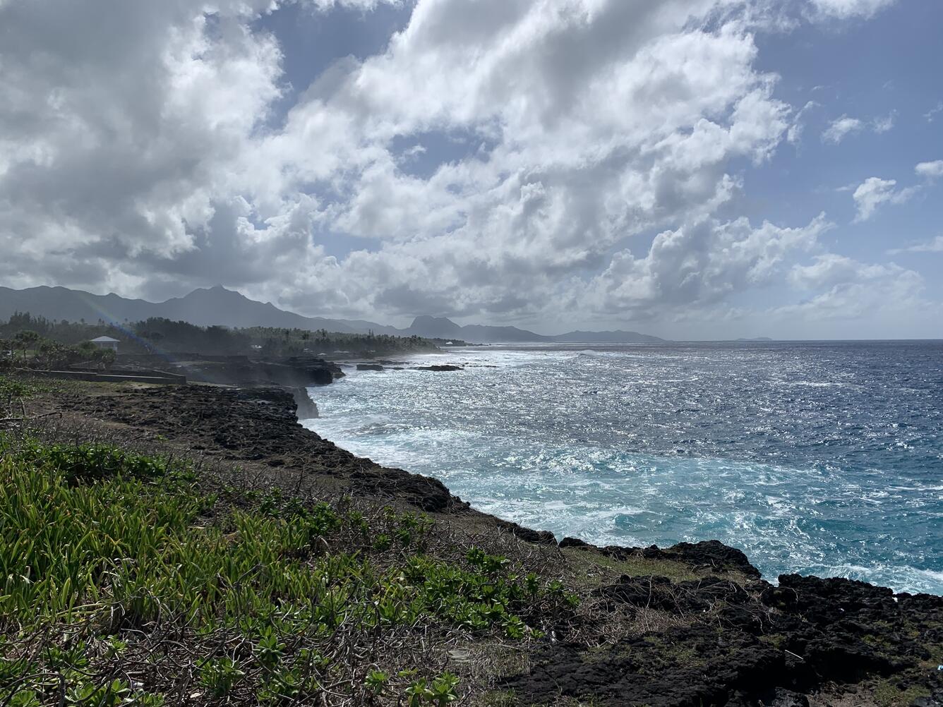
Sources/Usage: Public Domain. View Media Details
August 4, 2023 — Tutuila
Media

Sources/Usage: Public Domain. View Media Details