U.S. flag

An official website of the United States government

September 2, 2022

Photos and videos of the recent activity on Kīlauea volcano and the Hawaiian Volcano Observatory response to seismic unrest in American Samoa.

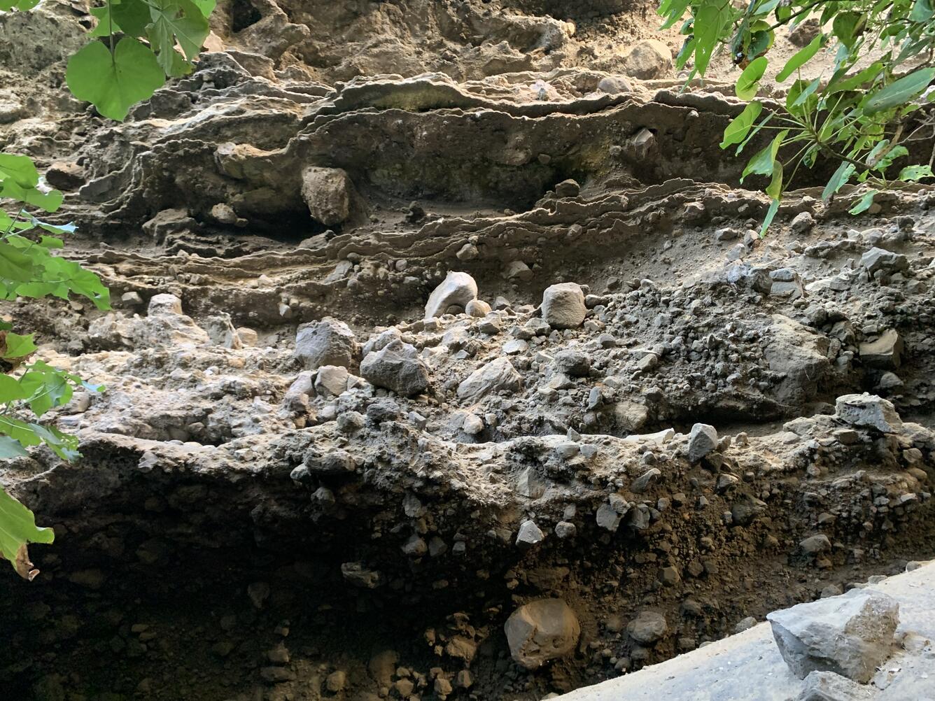
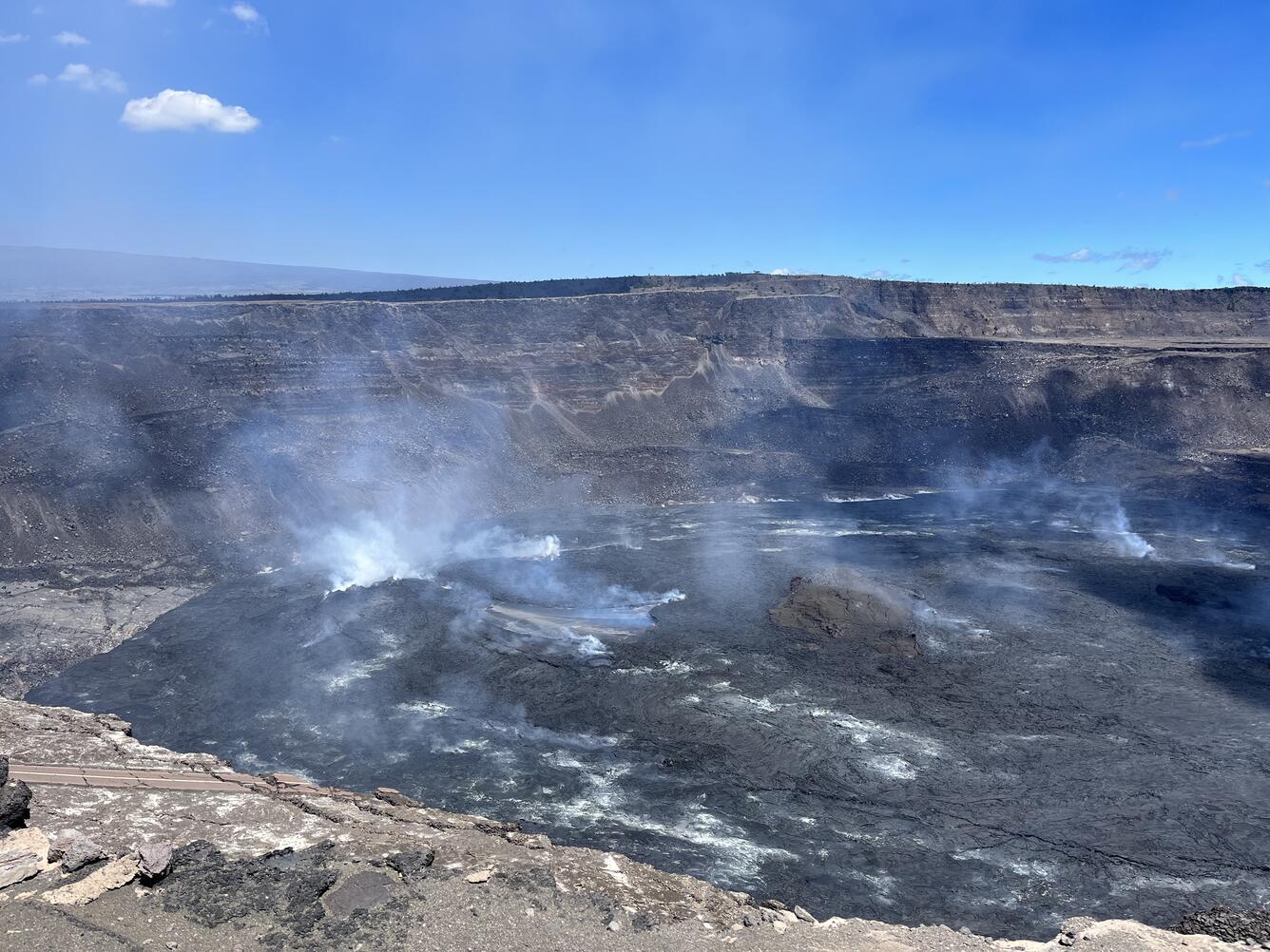
HVO scientists collect detailed data to assess hazards and understand how the eruption is evolving at Kīlauea's summit, all of which are shared with the National Park Service and emergency managers. Access to this hazardous area is by permission from, and in coordination with, Hawai‘i Volcanoes National Park. The current eruption at Kīlauea's summit began at approximately 3:20 p.m. HST on September 29, 2021. Lava activity is confined within Halema‘uma‘u crater, in the closed area of Hawai‘i Volcanoes National Park.

September 2, 2022 — Halema‘uma‘u eruption, Kīlauea summit

Color photograph of lava lake
A view of the eruption in Halema‘uma‘u at the summit of Kīlauea, taken on September 2, 2022, by HVO geologists on the south rim of the crater. Nice weather allowed for clear views of the active lava lake, which is in approximately the center of the image. The Uēkahuna Bluff is visible in the background on the opposite rim of the crater, and portions of Crater Rim Drive, which collapsed into the crater in 2018, are visible in the lower left portion of the image. USGS photo by K. Mulliken.
Color photograph of scientist in the field
An HVO geologist uses a telephoto camera lens to document Kīlauea's summit eruption from the south rim of Halema‘uma‘u on September 2, 2022. The slope of Mauna Loa's Northeast Rift Zone is visible in the background of the left side of the image, whereas the summit of Kīlauea, at Uēkahuna Bluff, is visible in the background of the right side of the image. USGS image by J. Chang.
Color photograph of crater edge
A telephoto view of the eastern end of Halema‘uma‘u crater floor, where lava flows erupted over the past year intersect the crater wall. The fissure that erupted in 1982 on Kīlauea caldera floor is visible as a ridge-like feature about 130 feet (40 meters) above these lava flows. USGS image by K. Mulliken.
Color photograph of lava lake
A telephoto view of the active lava lake within Halema‘uma‘u crater, at the summit of Kīlauea volcano. The active lava lake is approximately 3 acres (1 hectare) in area; however, lava flows from this eruption, which began on September 29, 2021, have covered approximately 282 acres (114 hectares). USGS image by K. Mulliken.
Color photograph of lava pond
South of the active lava lake within Halema‘uma‘u, there is a much smaller lava pond. Lava flows that appear darker grey and shiny around this feature attest to recent overflows. Telephoto image taken from the south rim of Halema‘uma‘u on September 2, 2022. USGS image by K. Mulliken.

August 2022 — Hawaiian Volcano Observatory continues response to seismic unrest in American Samoa

The USGS Hawaiian Volcano Observatory (HVO) is responding to earthquake activity in the Manuʻa island group of American Samoa. Residents report that earthquakes began in late July 2022. For more information, see the Taʻū Island webpage: https://www.usgs.gov/volcanoes/ta-u-island

color photograph of volcanic deposits
A cliff on Ta‘ū island in American Samoa, exposing part of a tuff cone that was created from phreatomagmatic processes through the interaction of lava with shallow seawater. This part of the tuff cone contains mostly sand-sized material that hosts larger blocks and bombs that are up to several feet (one meter) in diameter. There are several tuff cones that are present near the coastline of the island of Ta‘ū. USGS photo by D. Downs.
Color photograph of volcanic deposits
The base of a tuff cone near the coast of Ta‘ū Island in American Samoa. Tuff cones are created from phreatomagmatic processes through the interaction of lava with shallow seawater. This part of the tuff cone contains mostly sand size material that hosts larger blocks and bombs that are up to several feet (one meter) in diameter. There are several tuff cones that are present near the coastline of the island of Ta‘ū. USGS photo by D. Downs.

Get Our News

These items are in the RSS feed format (Really Simple Syndication) based on categories such as topics, locations, and more. You can install and RSS reader browser extension, software, or use a third-party service to receive immediate news updates depending on the feed that you have added. If you click the feed links below, they may look strange because they are simply XML code. An RSS reader can easily read this code and push out a notification to you when something new is posted to our site.