Hazard Ready Nation
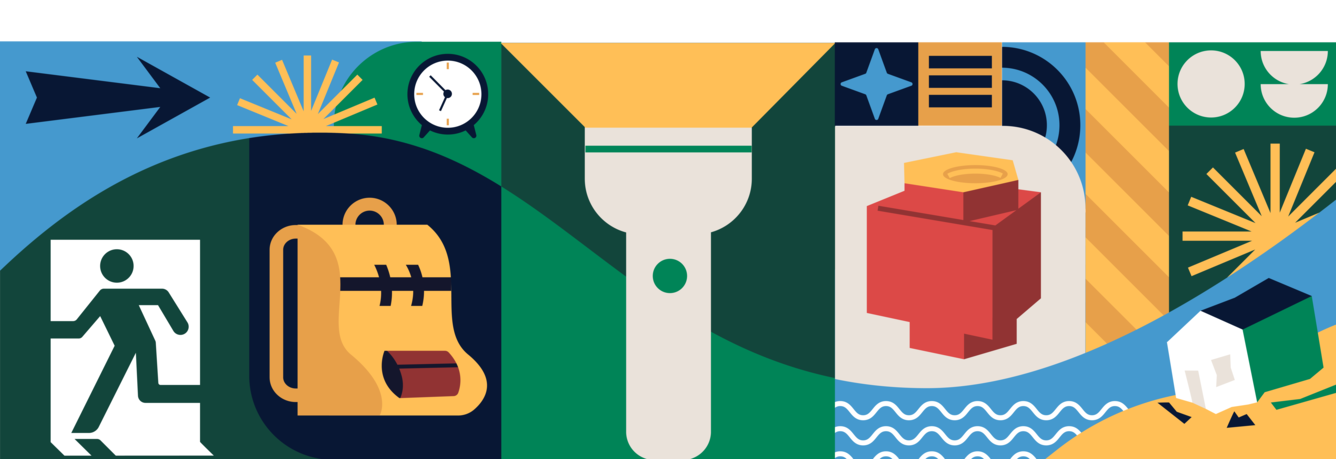
The devastating impacts of hazard events like landslides, earthquakes, volcanoes, coastal and riverine floods, geomagnetic storms, droughts, and wildfires, are felt by communities across the nation. However, the potential effects of future extreme events can be reduced by taking action — together we can create a more resilient Hazard Ready Nation.
Hazard Ready Nation is a unified approach to risk communication, research, and product development that ensures the delivery of actionable information, products, and services that allow people to make impact-based decisions by providing easy-to-access information about:
where hazards have occurred in the past,
where hazards may occur in the future,
the potential consequences of these hazards, and
the actions individuals and communities could take to reduce losses and risk.
A Hazard Ready Nation Approach
To inform impact-based decision-making, a Hazard Ready Nation approach works with USGS partners to inform and prioritize research, information delivery products and services, and communication. Partners are also central to the evaluation and continuous improvement of USGS products and services. This approach is centered on the following:
- Informing risk decision-making
- The HRN approach is focused on delivering actionable, impact-based information for risk-related decision making in accessible formats at multiple scales.
- Including end-users and partners in science
- The HRN approach is focused on working with end-users of USGS science throughout the research and development process to ensure that decision-maker needs are being met.
- Communication for a Hazard Ready Nation
- The HRN approach is focused on providing consistent and cross-cutting communication that can be tailored to individual audiences across the nation.
- Growing the Hazard Ready Nation community
- The HRN approach is focused on building capacity and capabilities both within the USGS and with external partners to grow the community of people working to make the United States more hazard ready.
- Putting cutting-edge science to work
- The HRN approach is focused on developing USGS research-to-operations to leverage cutting edge science and technology to address end-user needs effectively.
Examples of Hazard Ready Nation Activities at USGS
Development and updating of the National Seismic Hazard Model (NSHM) which is used daily as it informs building codes, land use and hazard mitigation planning, and critical infrastructure development to help the Nation be better prepared for earthquake hazards. The USGS-led ShakeAlert® Earthquake Early Warning System protects over 50 million residents and visitors in California, Oregon, and Washington. ShakeAlert detects significant earthquakes quickly enough so that alerts can be delivered to people and automated systems potentially seconds before strong shaking arrives.
Providing aviation-sector specific advisories for ash emissions in partnership with the National Weather Service and the Federal Aviation Administration to allow planes to be diverted away from potentially hazardous areas to keep air travel safe and uninterrupted.
Providing post-fire debris flow inundation assessments that inform emergency management decisions about evacuations after heavy rainfall as well as long-term hazard mitigation strategies.
Delivery of Total Water Level and Coastal Change Forecasts for short-term planning related to storm events.