
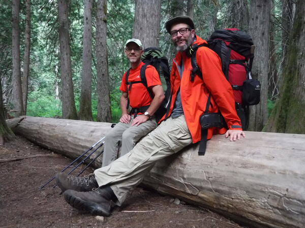
These are two USGS Western Fisheries Research Center scientists, Carl Ostberg and Jeff Duda (from left to right), sitting on a fallen tree in Skagit, WA. These scientists study critical fish, like salmon, in the Ross Dam reservoir and tributaries.
Multimedia
Explore photos and multimedia related to energy resources.
Images
USGS Fisheries Scientists in Skagit County, WA
These are two USGS Western Fisheries Research Center scientists, Carl Ostberg and Jeff Duda (from left to right), sitting on a fallen tree in Skagit, WA. These scientists study critical fish, like salmon, in the Ross Dam reservoir and tributaries.
Redside Shiner Fish in Ross Lake, WA
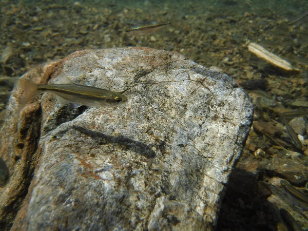
This is a photo of a fish in Ross Lake, WA called the Redside Shiner. Ecologists at the Western Fisheries Research Center are studying this fish and the food web in Ross Lake.
This is a photo of a fish in Ross Lake, WA called the Redside Shiner. Ecologists at the Western Fisheries Research Center are studying this fish and the food web in Ross Lake.
Ross Dam in Skagit, WA
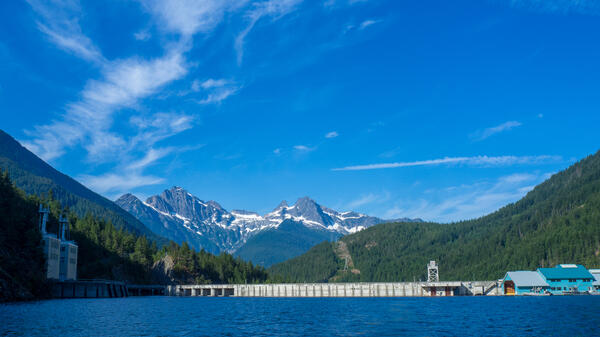
This is a photo of Ross Dam as viewed from the boat. This photo was taken by fisheries scientists from the USGS Western Fisheries Research Center.
This is a photo of Ross Dam as viewed from the boat. This photo was taken by fisheries scientists from the USGS Western Fisheries Research Center.
USGS Scientist Holding a Bull Trout in Ross Lake, WA
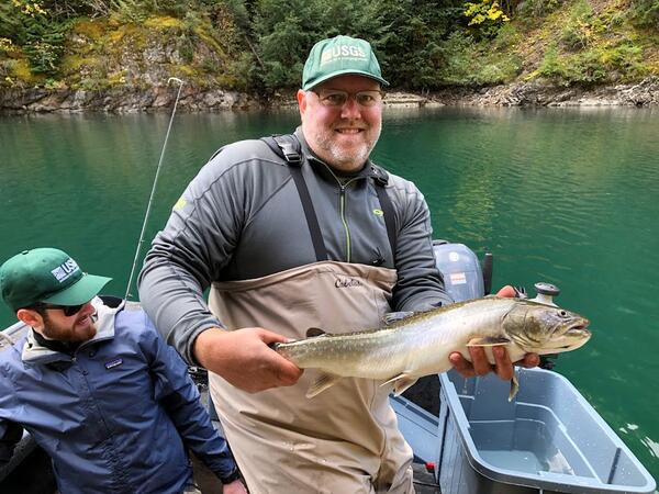
USGS Scientist Holding a Bull Trout in Ross Lake, WAThis is a photo of scientist, Marshal Hoy, holding a bull trout in Ross Lake. The USGS Western Fisheries Research Center does food web studies in Ross Lake to better understand the ecology and habitat for salmon in the area.
USGS Scientist Holding a Bull Trout in Ross Lake, WA
USGS Scientist Holding a Bull Trout in Ross Lake, WAThis is a photo of scientist, Marshal Hoy, holding a bull trout in Ross Lake. The USGS Western Fisheries Research Center does food web studies in Ross Lake to better understand the ecology and habitat for salmon in the area.
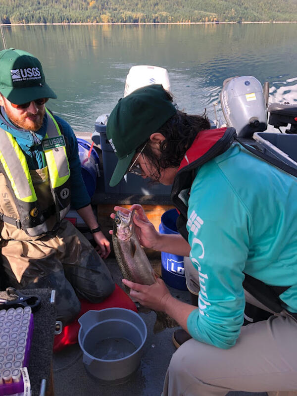
USGS Scientists Collecting Tissue Samples from a Rainbow Trout on Ross Lake.
USGS Scientists Collecting Tissue Samples from a Rainbow Trout on Ross Lake.This is a photo of scientists, Ben Jensen and Shelley Johnson, collecting tissue samples from a rainbow trout on Ross Lake. The USGS Western Fisheries Research Center does work on Ross Lake to understand the food web and ecology for salmon.
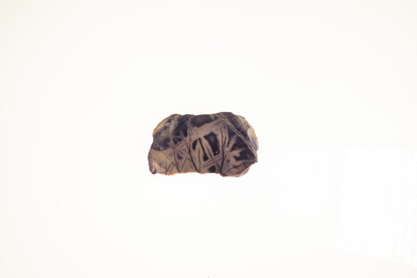
Beryllium Sample
Isolated beryllium specimen from the USGS mineral collection. High-definition image showing metallic luster and fine-grained texture.
Isolated beryllium specimen from the USGS mineral collection. High-definition image showing metallic luster and fine-grained texture.
Videos

Mapping the Nation's Wind Power: Using the U.S. Wind Turbine Database
Mapping the Nation's Wind Power: Using the U.S. Wind Turbine DatabaseDid you know there are more than 57,000 wind turbines in the United States? In this video, we'll show you how you can get to know each and every one of them with our U.S. Wind Turbine Database and viewer, which we've assembled in partnership with the U.S. Department of Energy, DOE’s Lawrence Berkeley National Laboratory and the American Wind Energy Association.

Drilling a Research Well in the Eagle Ford
USGS scientists drill a research well near Waco, Texas, as part of the assessment of oil and gas resources in the Eagle Ford Group. Cores like these provide information on the various rock layers, such as their make-up, their age, etc.
USGS scientists drill a research well near Waco, Texas, as part of the assessment of oil and gas resources in the Eagle Ford Group. Cores like these provide information on the various rock layers, such as their make-up, their age, etc.